Betsom's Hill, London
Map

Gallery

Facts and practical information
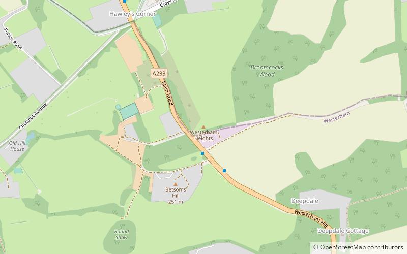
Betsom's Hill is a hill on the North Downs, and the highest point in the county of Kent at 251 metres. Situated between Westerham and Tatsfield, at the western edge of the county, it lies close to where the A233 crosses the Downs en route to Biggin Hill. This is the highest part of the North Downs, with Botley Hill the highest point, nearby to the west. The hill lies at the western end of the Kent Downs, an area of outstanding natural beauty. ()
Elevation: 823 ftCoordinates: 51°17'23"N, 0°3'32"E
Address
Bromley (Darwin)London
ContactAdd
Social media
Add
Day trips
Betsom's Hill – popular in the area (distance from the attraction)
Nearby attractions include: Addington Palace, Chartwell, Down House, Titsey Place.
Frequently Asked Questions (FAQ)
How to get to Betsom's Hill by public transport?
The nearest stations to Betsom's Hill:
Bus
Bus
- Graham Hall Coachworks • Lines: 246, 695 (2 min walk)
- Westerham Hill Baptist Church • Lines: 246, 695 (13 min walk)

 Tube
Tube


