Chevening, Kent Downs

Gallery (1)
Map
Map
Facts and practical information
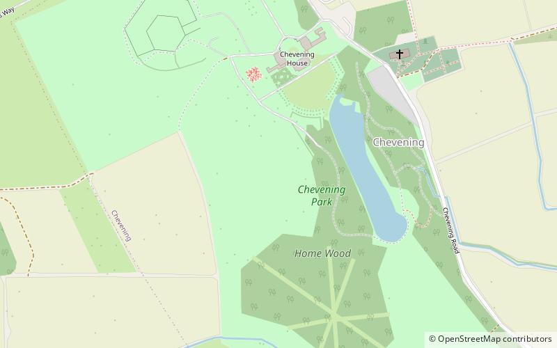
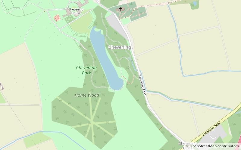
Chevening House is a large country house in the parish of Chevening in Kent, in south east England. Built between 1617 and 1630 to a design reputedly by Inigo Jones and greatly extended after 1717, it is a Grade I listed building. The surrounding gardens, pleasure grounds and park are listed Grade II*. ()
Elevation: 335 ft a.s.l.Coordinates: 51°17'48"N, 0°7'51"E
Address
Kent Downs
ContactAdd
Social media
Add
Getting there by public transportation
Public transportation stops near this location
- Bus
 Bus
Bus
- Calculate routeStar Hill Road 24 min walk
- Calculate routeDry Hill Lane 31 min walk
- Calculate routeChipstead Square 31 min walk
- Calculate routeThe Old Carriageway 35 min walk
Day trips

Frequently Asked Questions (FAQ)
How to get to Chevening by public transport?
The nearest stations to Chevening:
Bus
Bus
- Star Hill Road • Lines: 3, S31, S32, S33 (24 min walk)
- Dry Hill Lane • Lines: 1, 401, S1 (31 min walk)