Holden Viaduct, Stoke-on-Trent
Map

Map

Facts and practical information
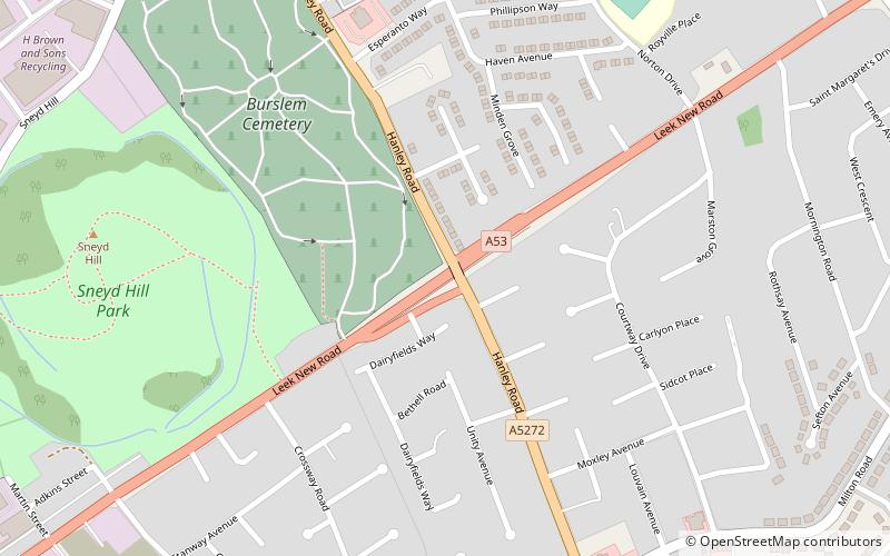
Holden Viaduct, in Sneyd Green, Stoke-on-Trent, carries the A5272, here called Hanley Road. It spans a cutting through which runs Leek New Road, the A53. On each side of the viaduct is a ramp leading down to the A53. ()
Coordinates: 53°2'37"N, 2°10'21"W
Address
Burslem SouthStoke-on-Trent
ContactAdd
Social media
Add
Day trips
Holden Viaduct – popular in the area (distance from the attraction)
Nearby attractions include: Waterworld, Potteries Shopping Centre, Ford Green Hall, Burslem.
Frequently Asked Questions (FAQ)
Which popular attractions are close to Holden Viaduct?
Nearby attractions include Sneyd Green, Stoke-on-Trent (7 min walk), Smallthorne, Stoke-on-Trent (14 min walk), Central Forest Park, Stoke-on-Trent (16 min walk), Burslem Park, Stoke-on-Trent (20 min walk).


