Taylor Park, Rochdale

Map
Facts and practical information
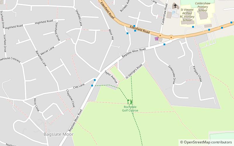
Taylor Park is an area of land located in the area of Norden in the Metropolitan Borough of Rochdale, Greater Manchester, England. It was originally made into a park because it is situated on a mine shaft for the mine that used to be in operation in the locality and therefore makes it unsuitable for building on. ()
Elevation: 581 ft a.s.l.Coordinates: 53°37'15"N, 2°12'4"W
Address
Rochdale
ContactAdd
Social media
Add
Day trips
Taylor Park – popular in the area (distance from the attraction)
Nearby attractions include: Spotland Stadium, Marland Golf Course, Denehurst Park, Spotland.
Frequently Asked Questions (FAQ)
Which popular attractions are close to Taylor Park?
Nearby attractions include Denehurst Park, Rochdale (18 min walk), Spotland Stadium, Rochdale (23 min walk).


