The Hayes, Cardiff
Map
Gallery
Facts and practical information
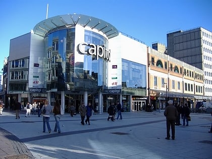
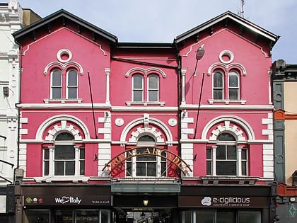
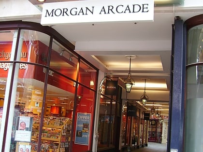
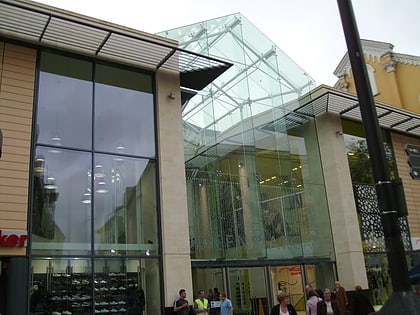
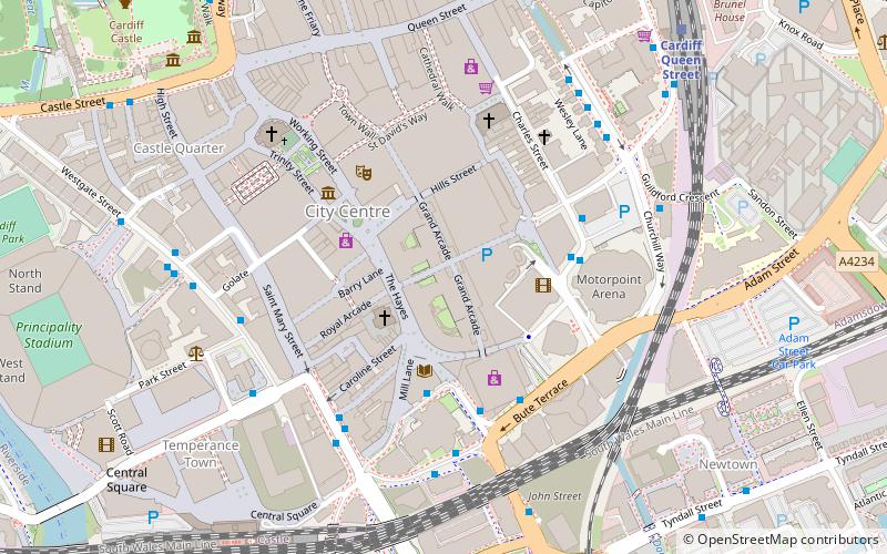
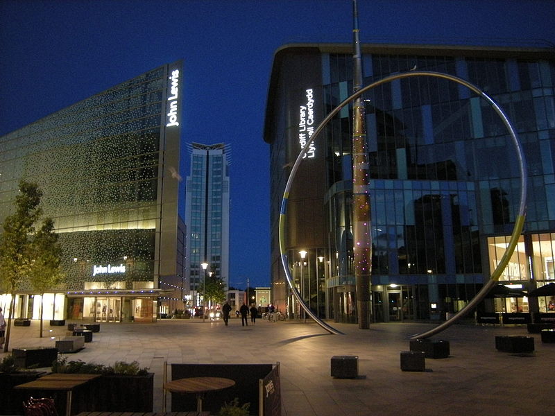
The Hayes is a commercial area in the southern city centre of the Welsh capital, Cardiff. Centred on the road of that name leading south towards the east end of the city centre, the area is mostly pedestrianised and is the location of the Hayes Island Snack Bar. ()
Coordinates: 51°28'44"N, 3°10'30"W
Address
Canol Dinas Caerdydd (Canol Y Ddinas)Cardiff
ContactAdd
Social media
Add
Day trips
The Hayes – popular in the area (distance from the attraction)
Nearby attractions include: Queen Street, St David's, Cardiff Market, Capitol Centre.
Frequently Asked Questions (FAQ)
Which popular attractions are close to The Hayes?
Nearby attractions include Alliance Sculpture, Cardiff (2 min walk), Tabernacle Chapel, Cardiff (2 min walk), Castle Quarter, Cardiff (2 min walk), Cardiff Central Library, Cardiff (3 min walk).
How to get to The Hayes by public transport?
The nearest stations to The Hayes:
Bus
Train
Bus
- Hayes Bridge Road • Lines: 28 (3 min walk)
- Bute Terrace JK • Lines: 8 (4 min walk)
Train
- Cardiff Queen Street (8 min walk)
- Cardiff Central (8 min walk)


