The Mound, Edinburgh
Map
Gallery
Facts and practical information
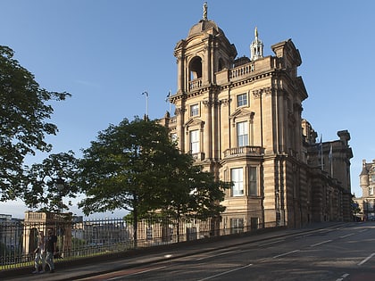
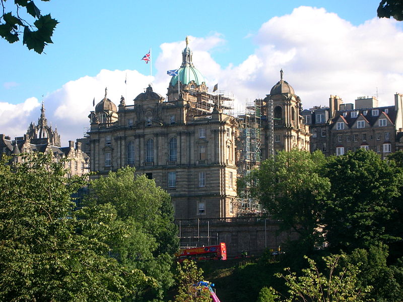
The Mound is an artificial slope in central Edinburgh, Scotland, which connects Edinburgh's New and Old Towns. It was formed by dumping around 1,501,000 cartloads of earth excavated from the foundations of the New Town into Nor Loch which was drained in 1765 and forms today's Princes Street Gardens. ()
Day trips
The Mound – popular in the area (distance from the attraction)
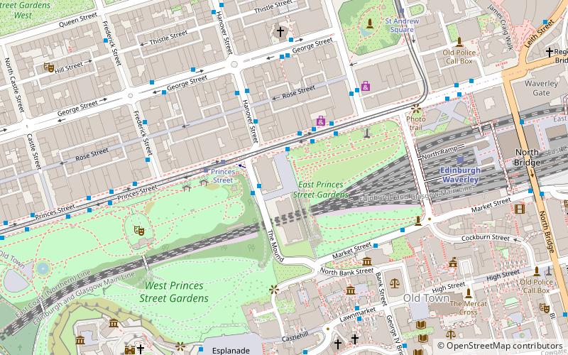
Nearby attractions include: Princes Street, George Street, Scottish National Gallery, Waverley Mall.
Frequently Asked Questions (FAQ)
Which popular attractions are close to The Mound?
Nearby attractions include Royal Scottish Academy Building, Edinburgh (1 min walk), Scottish National Gallery, Edinburgh (2 min walk), Scott Monument, Edinburgh (3 min walk), Museum on the Mound, Edinburgh (4 min walk).
How to get to The Mound by public transport?
The nearest stations to The Mound:
Bus
Tram
Train
Bus
- Princes Street • Lines: 1, 12, 124, 22, 26, 29, 3, 31, 4, 44, X5 (2 min walk)
- The Mound • Lines: 23, 27, 41, 42 (1 min walk)
Tram
- Princes Street • Lines: Edinburgh Trams Eastbound, Edinburgh Trams Westbound (3 min walk)
- St Andrew Square • Lines: Edinburgh Trams Eastbound, Edinburgh Trams Westbound (7 min walk)
Train
- Edinburgh Waverley (6 min walk)
- Haymarket (26 min walk)

