Thorpe Hay Meadow, Staines-upon-Thames
Map
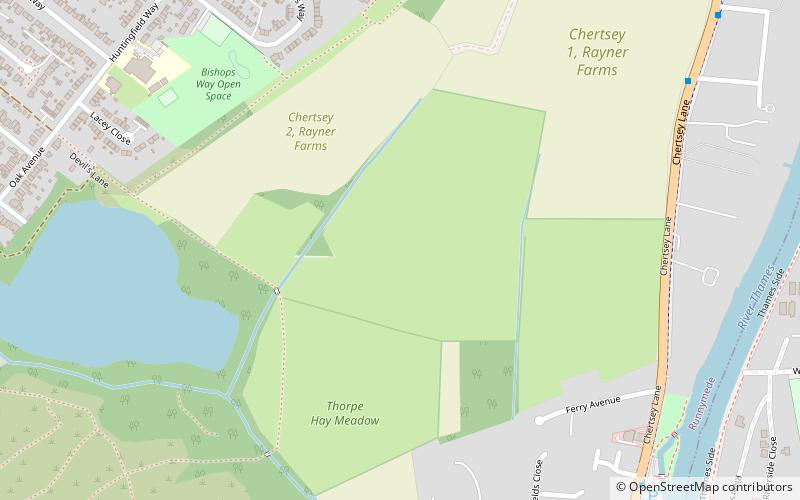
Map

Facts and practical information
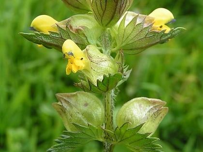
Thorpe Hay Meadow is a 6.4-hectare biological Site of Special Scientific Interest west of Staines-upon-Thames in Surrey. It is owned and managed by the Surrey Wildlife Trust. ()
Coordinates: 51°25'19"N, 0°31'9"W
Address
Staines-upon-Thames
ContactAdd
Social media
Add
Day trips
Thorpe Hay Meadow – popular in the area (distance from the attraction)
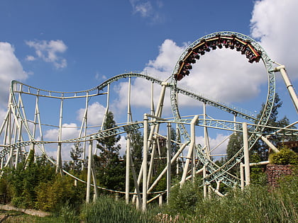
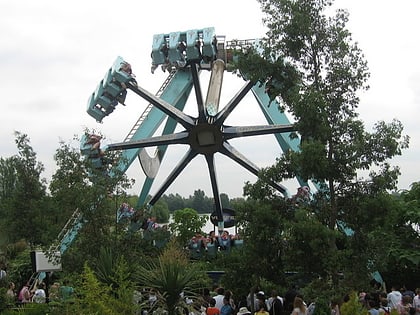
Nearby attractions include: Thorpe Park, Stealth Roller Coaster, The Swarm Roller Coaster, Tidal Wave.
Frequently Asked Questions (FAQ)
Which popular attractions are close to Thorpe Hay Meadow?
Nearby attractions include Truss's Island, Staines-upon-Thames (9 min walk), Staines Railway Bridge, Staines-upon-Thames (18 min walk), Staines Bridge, Staines-upon-Thames (20 min walk), Church Island, Staines-upon-Thames (23 min walk).
How to get to Thorpe Hay Meadow by public transport?
The nearest stations to Thorpe Hay Meadow:
Bus
Train
Bus
- Green Lane • Lines: 446, 456, 593 (10 min walk)
- Mayfield Gardens • Lines: 446, 456, 593 (9 min walk)
Train
- Staines (26 min walk)
