Staines Bridge, Staines-upon-Thames
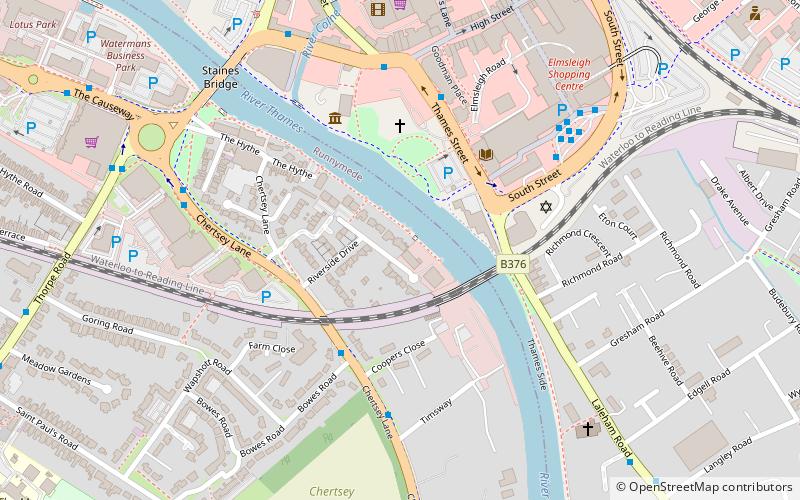
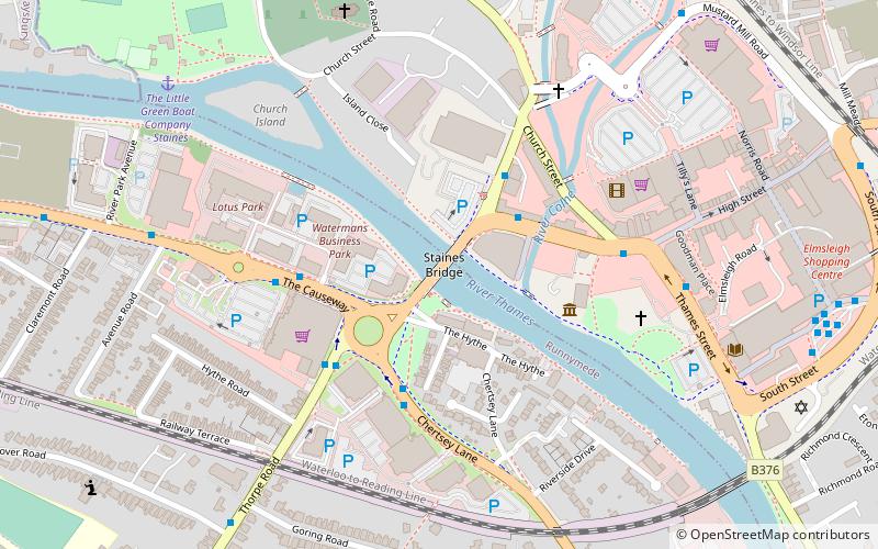
Map
Gallery
Facts and practical information
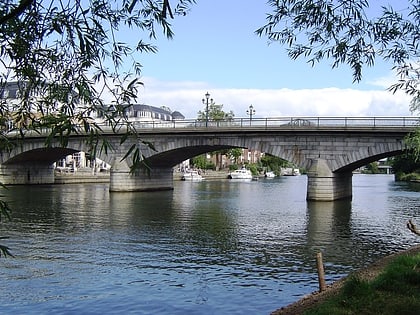
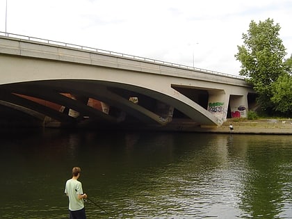
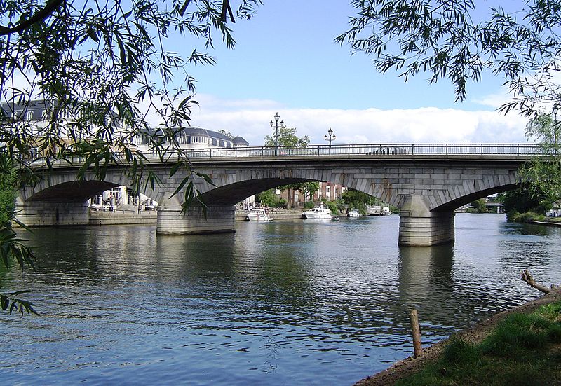
Staines Bridge is a road bridge running in a south-west to north-east direction across the River Thames in Surrey. It is on the modern A308 road and links the boroughs of Spelthorne and Runnymede at Staines-upon-Thames and Egham Hythe. The bridge is Grade II listed. ()
Opened: 1832 (194 years ago)Coordinates: 51°25'60"N, 0°31'1"W
Day trips
Staines Bridge – popular in the area (distance from the attraction)
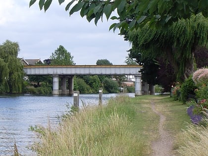
Nearby attractions include: St. Mary's Church, St John's Church, Staines Railway Bridge, Hollyhock Island.
Frequently Asked Questions (FAQ)
Which popular attractions are close to Staines Bridge?
Nearby attractions include Church Island, Staines-upon-Thames (5 min walk), St. Mary's Church, Staines-upon-Thames (6 min walk), Staines Railway Bridge, Staines-upon-Thames (8 min walk), Hollyhock Island, Staines-upon-Thames (13 min walk).
How to get to Staines Bridge by public transport?
The nearest stations to Staines Bridge:
Bus
Train
Bus
- Pinetrees Business Park • Lines: 446, 456, 593 (3 min walk)
- Staines Bridge • Lines: 441, 446, 456, 500, 566, 567, 570, 593, 8, 8A (3 min walk)
Train
- Staines (16 min walk)
