Town Moor, Newcastle upon Tyne
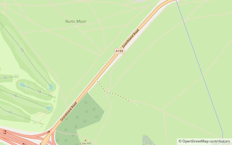
Map

Map

Facts and practical information
The Town Moor is an area of common land in Newcastle upon Tyne. It covers an area of around 1000 acres or 400ha, making it larger than Hyde Park and Hampstead Heath combined. It is also larger than New York City's Central Park. The Town Moor reaches Spital Tongues and the city centre to the south, Gosforth to the north and Jesmond to the east. ()
Created: XII centuryElevation: 285 ft a.s.l.Coordinates: 54°59'31"N, 1°37'59"W
Address
WingroveNewcastle upon Tyne
ContactAdd
Social media
Add
Day trips
Town Moor – popular in the area (distance from the attraction)
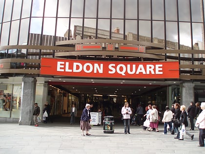
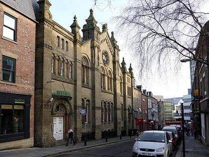
Nearby attractions include: Northumberland Street, Great North Museum: Hancock, Great North Museum, Eldon Square Shopping Centre.
Frequently Asked Questions (FAQ)
Which popular attractions are close to Town Moor?
Nearby attractions include Moorbank Botanic Gardens, Newcastle upon Tyne (11 min walk), North Gosforth, Newcastle upon Tyne (18 min walk), Newcastle Reform Synagogue, Newcastle upon Tyne (20 min walk), Exhibition Park, Newcastle upon Tyne (22 min walk).
How to get to Town Moor by public transport?
The nearest stations to Town Moor:
Bus
Light rail
Bus
- Sheraton Street-N/B • Lines: 32, 47 (15 min walk)
- Sheraton Street • Lines: 47 (15 min walk)
Light rail
- West Jesmond • Lines: Green, Yellow (24 min walk)
- Ilford Road • Lines: Green, Yellow (27 min walk)


