Toxteth, Liverpool
Map
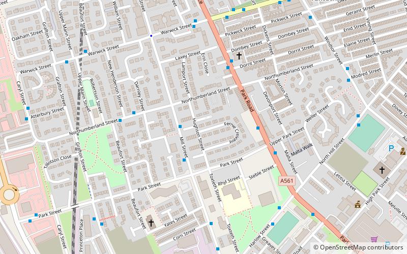
Map

Facts and practical information
Toxteth is an inner-city area of Liverpool in the historic county of Lancashire and the ceremonial county of Merseyside. ()
Address
RiversideLiverpool
ContactAdd
Social media
Add
Day trips
Toxteth – popular in the area (distance from the attraction)
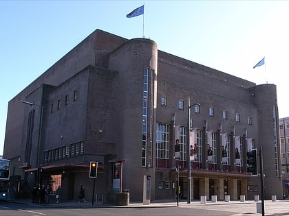
Nearby attractions include: Liverpool Cathedral, Philharmonic Hall, Prince's Park, Granby Four Streets.
Frequently Asked Questions (FAQ)
Which popular attractions are close to Toxteth?
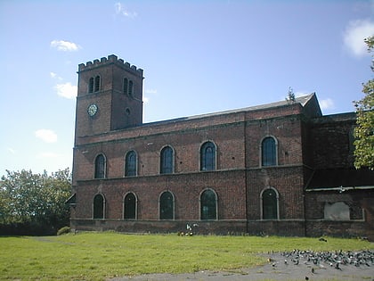
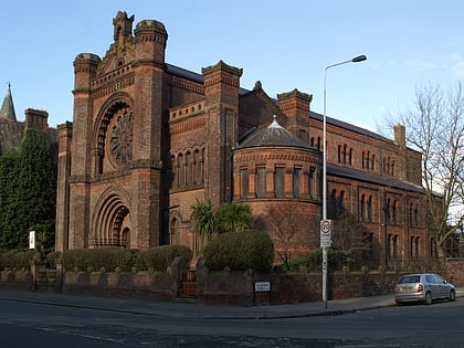
Nearby attractions include St Patrick's Church, Liverpool (8 min walk), Our Lady of Mount Carmel Roman Catholic Church, Liverpool (9 min walk), 10 Admiral Grove, Liverpool (11 min walk), Church of St James, Liverpool (12 min walk).
How to get to Toxteth by public transport?
The nearest stations to Toxteth:
Train
Bus
Train
- Brunswick (10 min walk)
- St Michaels (29 min walk)
Bus
- Paradise St Interchange • Lines: 500 (31 min walk)
- Liverpool One (31 min walk)


