Trowse Bridge, Norwich
Map

Map

Facts and practical information
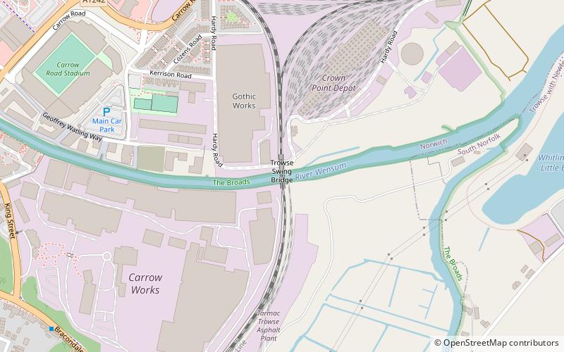
Trowse Bridge is a single-track railway bridge which carries the Great Eastern Main Line over the River Wensum just outside Norwich in England at grid reference TG245076. ()
Opened: 1987 (39 years ago)Coordinates: 52°37'12"N, 1°18'57"E
Address
Thorpe (Thorpe Hamlet)Norwich
ContactAdd
Social media
Add
Day trips
Trowse Bridge – popular in the area (distance from the attraction)
Nearby attractions include: Norwich Cathedral, Norwich Castle, Carrow Road, Cow Tower.
Frequently Asked Questions (FAQ)
Which popular attractions are close to Trowse Bridge?
Nearby attractions include Carrow Abbey, Norwich (6 min walk), Rosary Cemetery, Norwich (14 min walk), St Etheldreda's Church, Norwich (15 min walk), Lion Wood, Norwich (17 min walk).
How to get to Trowse Bridge by public transport?
The nearest stations to Trowse Bridge:
Bus
Train
Bus
- Barton Way, adj • Lines: 14, 15, 15A, 51, 52, 53 (8 min walk)
- Cotman Road, adj • Lines: 14, 15, 15A, 31, 51, 52, 53 (9 min walk)
Train
- Norwich (15 min walk)


