Twickenham, London
Map
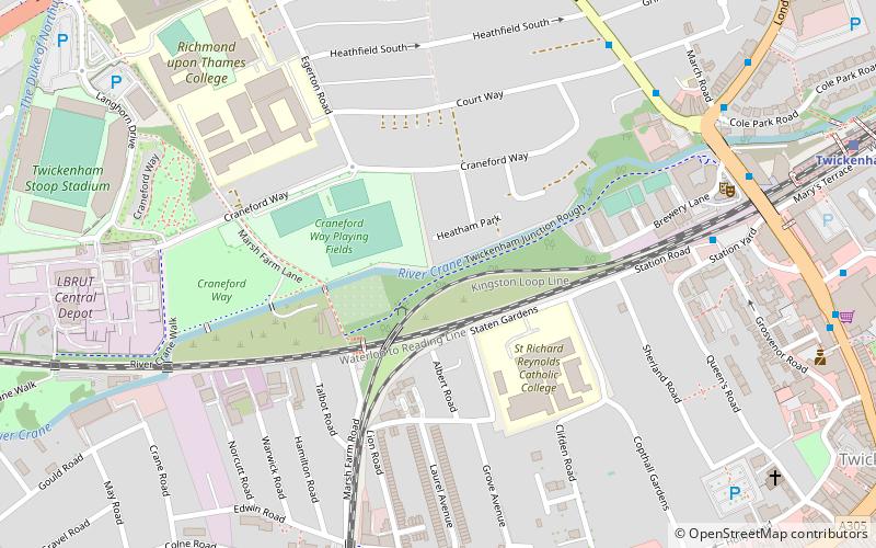
Map

Facts and practical information
Twickenham, in southwest London, England, is on the River Thames 9.9 miles southwest of Charing Cross, 2 miles southeast of Hounslow, and 2.6 miles northwest of Kingston upon Thames. ()
Address
Richmond upon Thames (St. Margarets and North Twickenham)London
ContactAdd
Social media
Add
Best Ways to Experience the City
Food & drink
CuisineA guide to some of the best local dishes and drinks that you will meet in the region.
More
Show more
Day trips
Twickenham – popular in the area (distance from the attraction)
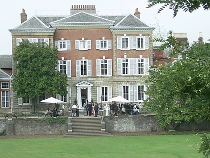
Nearby attractions include: Twickenham Stadium, Twickenham Stoop, Ham House, The Naked Ladies.
Frequently Asked Questions (FAQ)
Which popular attractions are close to Twickenham?
Nearby attractions include The Exchange, London (7 min walk), Twickenham Farmers' Market, London (8 min walk), Twickenham Stoop, London (9 min walk), Twickenham Methodist Church, Feltham (9 min walk).
How to get to Twickenham by public transport?
The nearest stations to Twickenham:
Bus
Train
Bus
- Heatham House • Lines: 281, 681 (7 min walk)
- Heath Road / Grove Avenue • Lines: 267, 281, 290, 490, 681, H22, N22, R70 (7 min walk)
Train
- Twickenham (10 min walk)
- Strawberry Hill (18 min walk)

 Tube
Tube