Charing Cross, London

Facts and practical information
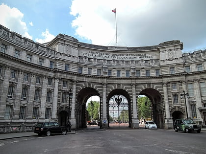
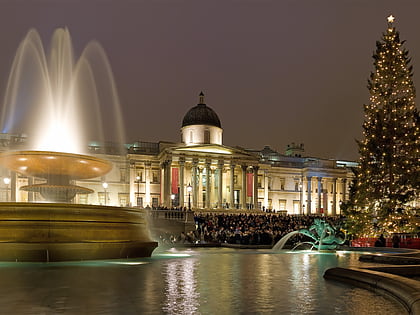
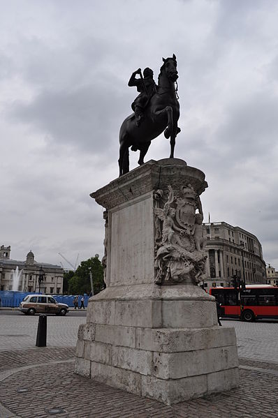
Charing Cross is the name of a junction in London, England, where six routes meet. Clockwise from north these are: the east side of Trafalgar Square leading to St Martin's Place and then Charing Cross Road; the Strand leading to the City; Northumberland Avenue leading to the Thames Embankment; Whitehall leading to Parliament Square; The Mall leading to Admiralty Arch and Buckingham Palace; and two short roads leading to Pall Mall. The name also commonly refers to the Queen Eleanor Memorial Cross at Charing Cross station. ()
City of Westminster (St. James's)London
Charing Cross – popular in the area (distance from the attraction)
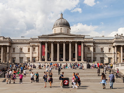
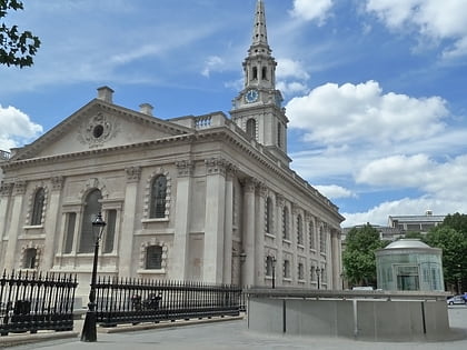
Nearby attractions include: National Gallery, Trafalgar Square, Nelson's Column, St Martin-in-the-Fields.
Frequently Asked Questions (FAQ)
Which popular attractions are close to Charing Cross?
How to get to Charing Cross by public transport?
Bus
- Trafalgar Square / Charing Cross Station • Lines: N26 (2 min walk)
- Charing Cross Station • Lines: N26 (4 min walk)
Metro
- Charing Cross • Lines: Bakerloo, Northern (2 min walk)
- Embankment • Lines: Bakerloo, Circle, District, Northern (6 min walk)
Train
- Charing Cross (5 min walk)
- London Waterloo (18 min walk)
Ferry
- Embankment • Lines: Green Tour, Rb1, Rb1X, Rb2, Rb6 (7 min walk)
- London Eye - Waterloo Pier • Lines: Rb1, Rb1X, Rb2, Red Tour (11 min walk)

 Tube
Tube