Union Street, Bere Ferrers
Map

Gallery

Facts and practical information
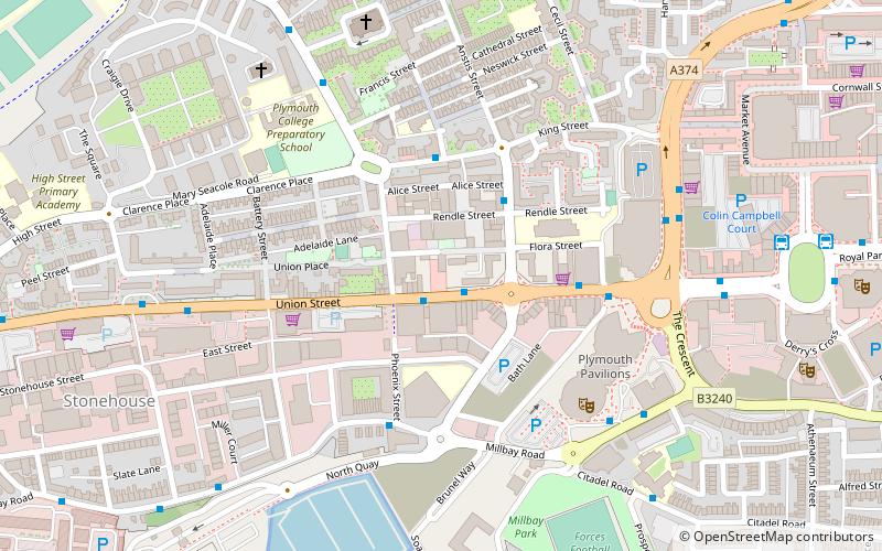
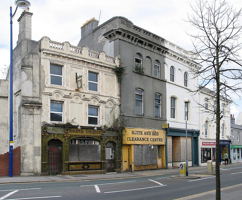
Union Street in Plymouth, Devon, is a long straight street connecting the city centre to Devonport, the site of Plymouth's naval base and docks. Originally the home of wealthy people, it later became an infamous red-light district and the location of most of the city's night-life. ()
Coordinates: 50°22'12"N, 4°9'11"W
Address
St. Peter and the WaterfrontBere Ferrers
ContactAdd
Social media
Add
Day trips
Union Street – popular in the area (distance from the attraction)
Nearby attractions include: Drake Circus, Smeaton's Tower, Plymouth Hoe, Plymouth Pavilions.
Frequently Asked Questions (FAQ)
Which popular attractions are close to Union Street?
Nearby attractions include Palace Theatre, Bere Ferrers (1 min walk), St Peter & the Holy Apostles, Bere Ferrers (6 min walk), King Point Marina, Bere Ferrers (7 min walk), Millbay, Bere Ferrers (7 min walk).
How to get to Union Street by public transport?
The nearest stations to Union Street:
Bus
Train
Bus
- Western Approach • Lines: 11, 44, 8, 9, X11 (6 min walk)
- Derry's Cross Coach Stop • Lines: X11 (8 min walk)
Train
- Plymouth (18 min walk)
- Devonport (25 min walk)


