Plymouth Hoe, Bere Ferrers
Map
Gallery

Facts and practical information
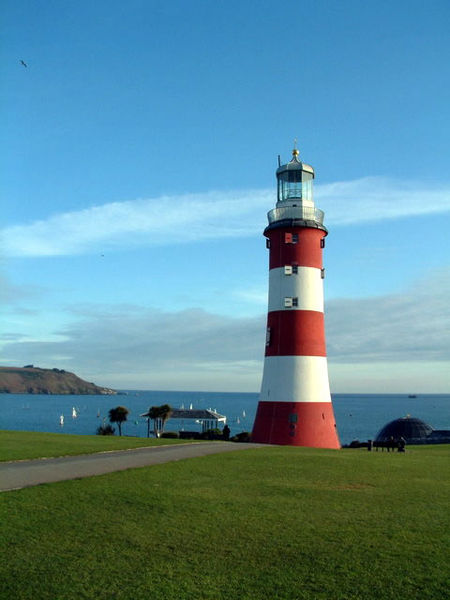
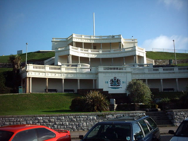
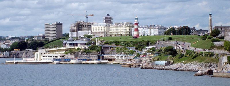
Plymouth Hoe, referred to locally as the Hoe, is a large south-facing open public space in the English coastal city of Plymouth. The Hoe is adjacent to and above the low limestone cliffs that form the seafront and it commands views of Plymouth Sound, Drake's Island, and across the Hamoaze to Mount Edgcumbe in Cornwall. The name derives from the Anglo-Saxon word hoh, a sloping ridge shaped like an inverted foot and heel. ()
Elevation: 95 ft a.s.l.Coordinates: 50°21'58"N, 4°8'29"W
Day trips
Plymouth Hoe – popular in the area (distance from the attraction)
Nearby attractions include: Drake Circus, Smeaton's Tower, National Marine Aquarium, Plymouth Pavilions.
Frequently Asked Questions (FAQ)
When is Plymouth Hoe open?
Plymouth Hoe is open:
- Monday 24h
- Tuesday 24h
- Wednesday 24h
- Thursday 24h
- Friday 24h
- Saturday 24h
- Sunday 24h
Which popular attractions are close to Plymouth Hoe?
Nearby attractions include Plymouth Naval Memorial, Bere Ferrers (2 min walk), Smeaton's Tower, Bere Ferrers (3 min walk), Plymouth Dome, Bere Ferrers (4 min walk), Royal Citadel, Bere Ferrers (5 min walk).
How to get to Plymouth Hoe by public transport?
The nearest stations to Plymouth Hoe:
Bus
Train
Bus
- Royal Parade • Lines: 11, 21A, 44, 44A, 8, 9, X11 (8 min walk)
- Derry's Cross Coach Stop • Lines: X11 (10 min walk)
Train
- Plymouth (22 min walk)


