Upper Plym Valley, Dartmoor National Park
Map

Map

Facts and practical information
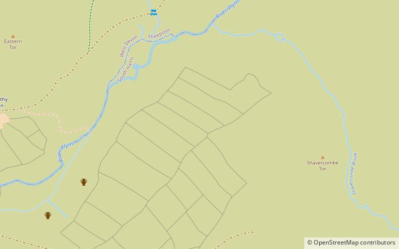
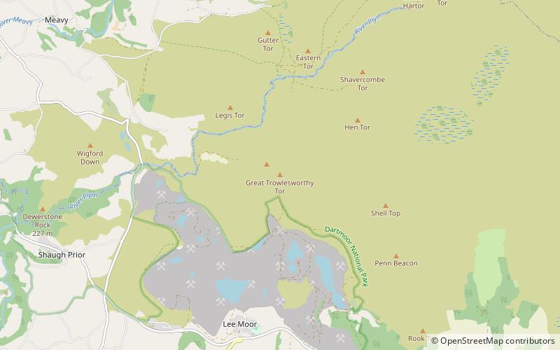
The Upper Plym Valley is an area of Dartmoor, Devon, England, particularly noted for a large array of archaeological sites ranging from prehistoric Drizzlecombe to 19th century Eylesbarrow Mine. It contains some 300 Bronze Age and medieval sites, covering 15 1⁄2 square kilometres of Dartmoor landscape. ()
Coordinates: 50°28'44"N, 3°59'17"W
Address
Dartmoor National Park
ContactAdd
Social media
Add
Day trips
Upper Plym Valley – popular in the area (distance from the attraction)
Nearby attractions include: Burrator Reservoir, Cuckoo Rock, Church of St Michael, Childe's Tomb.


