Vale of Ffestiniog, Snowdonia National Park
Map
Facts and practical information
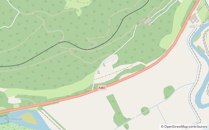
The Vale of Ffestiniog is a valley in the Snowdonia National Park in Gwynedd, North Wales. It stretches from Ffestiniog in the east and runs in a westerly direction towards Tremadog Bay, terminating near Porthmadog. The Afon Dwyryd runs through the Vale; pastoral farming is practised along its length. ()
Coordinates: 52°56'38"N, 4°0'22"W
Address
Snowdonia National Park
ContactAdd
Social media
Add
Getting there by public transportation
Public transportation stops near this location
- Bus
- Train
 Bus
Bus
- Calculate routePlas Halt 8 min walk
- Calculate routeTan y Bwlch 20 min walk
- Calculate routeOakeley Arms 14 min walk
Day trips


Frequently Asked Questions (FAQ)
Which popular attractions are close to Vale of Ffestiniog?
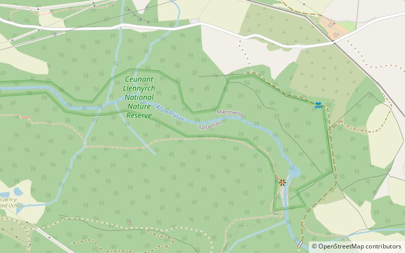
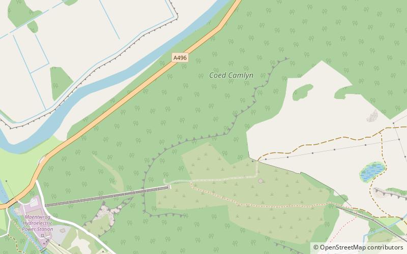
Nearby attractions include Plas Tan y Bwlch, Snowdonia National Park (6 min walk), Llyn Mair, Snowdonia National Park (13 min walk), Coed Camlyn National Nature Reserve, Snowdonia National Park (14 min walk), St Twrog's Church, Snowdonia National Park (18 min walk).
How to get to Vale of Ffestiniog by public transport?
The nearest stations to Vale of Ffestiniog:
Train
Bus
Train
- Plas Halt (8 min walk)
- Tan y Bwlch (20 min walk)
Bus
- Oakeley Arms • Lines: T2 (14 min walk)