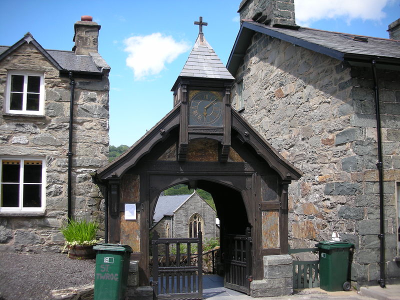
St Twrog's Church, Snowdonia National Park
Map

Gallery

Facts and practical information
Saint Twrog's Church is in the village of Maentwrog in the Welsh county of Gwynedd, lying in the Vale of Ffestiniog, within the Snowdonia National Park. It is in the Deanery of Ardudwy. It is designated by Cadw as a Grade II listed building. ()
Completed: 1896 (130 years ago)Coordinates: 52°56'44"N, 3°59'22"W
Address
Snowdonia National Park
ContactAdd
Social media
Add
Day trips
St Twrog's Church – popular in the area (distance from the attraction)
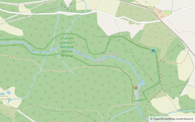
Nearby attractions include: Oakeley Arms Hotel, Plas Tan y Bwlch, Llyn Mair, Ceunant Llennyrch National Nature Reserve.
Frequently Asked Questions (FAQ)
Which popular attractions are close to St Twrog's Church?
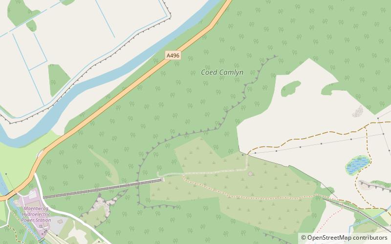
Nearby attractions include Plas Tan y Bwlch, Snowdonia National Park (14 min walk), Coed Camlyn National Nature Reserve, Snowdonia National Park (15 min walk), Vale of Ffestiniog, Snowdonia National Park (18 min walk), Llyn Mair, Snowdonia National Park (19 min walk).
How to get to St Twrog's Church by public transport?
The nearest stations to St Twrog's Church:
Bus
Train
Bus
- Oakeley Arms • Lines: T2 (10 min walk)
Train
- Plas Halt (16 min walk)
- Campbell's Platform (26 min walk)


