St Benedict's Church, Norwich
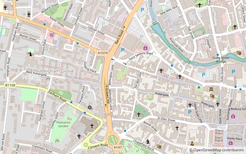
Map

Gallery

Facts and practical information
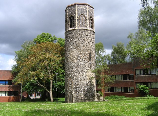
St Benedict's Church, Norwich is a Grade I listed Anglican former parish church in Norwich, Norfolk, England. The church is medieval and probably dates from the 11th century. It was badly damaged in an air raid in 1942 and the only part still standing is the round tower. ()
Coordinates: 52°37'52"N, 1°17'10"E
Day trips
St Benedict's Church – popular in the area (distance from the attraction)
Nearby attractions include: Chantry Place, St John the Baptist Cathedral, Norwich Market, St Peter Mancroft.
Frequently Asked Questions (FAQ)
Which popular attractions are close to St Benedict's Church?
Nearby attractions include Norwich Arts Centre, Norwich (2 min walk), Grapes Hill Community Garden, Norwich (2 min walk), St Margaret's Church, Norwich (3 min walk), St Laurence's Church, Norwich (5 min walk).
How to get to St Benedict's Church by public transport?
The nearest stations to St Benedict's Church:
Bus
Train
Bus
- Norwich / Westwick Street • Lines: 28, 29, 29A, 29B, 5, X29 (4 min walk)
- Earlham Road / St John Cathedral • Lines: 26, 27, 3, 4 (4 min walk)
Train
- Norwich (25 min walk)


