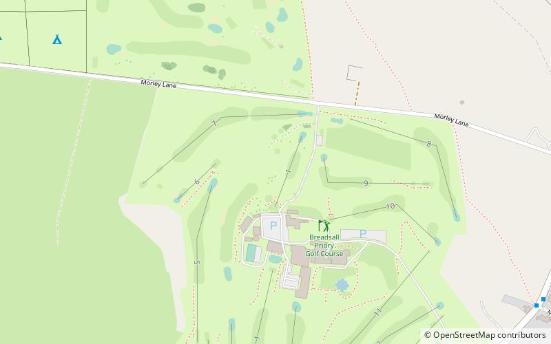
Breadsall Priory, Derby
Map

Map

Facts and practical information
Breadsall Priory is a former Augustinian priory in Derbyshire, situated around two kilometres north of Breadsall, and two kilometres east of Little Eaton. The priory was established before 1266 by a member of the Curzon family. Only a small priory, Breadsall was dissolved in 1536. ()
Established: 1266 (760 years ago)Coordinates: 52°58'13"N, 1°26'8"W
Day trips
Breadsall Priory – popular in the area (distance from the attraction)
Nearby attractions include: St Paul's Church, All Saints' Church, Little Eaton, Morley.
Frequently Asked Questions (FAQ)
How to get to Breadsall Priory by public transport?
The nearest stations to Breadsall Priory:
Bus
Bus
- Mansfield Road / Brick Kiln Lane • Lines: H1 (23 min walk)
- Bottle Brook • Lines: Amberline (25 min walk)


