Little Eaton, Derby
Map

Map

Facts and practical information
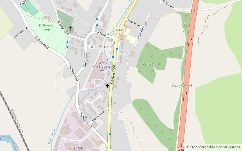
Little Eaton is a village and civil parish in the English county of Derbyshire. The population as taken at the 2011 Census was 2,430. The name originated from Anglo Saxon times and means the little town by the water. ()
Address
Derby
ContactAdd
Social media
Add
Day trips
Little Eaton – popular in the area (distance from the attraction)
Nearby attractions include: St Alkmund's Church, Allestree Hall, St Paul's Church, Breadsall Priory.
Frequently Asked Questions (FAQ)
How to get to Little Eaton by public transport?
The nearest stations to Little Eaton:
Bus
Bus
- Queen's Head • Lines: Amberline (2 min walk)
- Barley Close / Town End • Lines: 7.1 (5 min walk)


