Bugsworth Basin, Whaley Bridge

Gallery (2)
Map
Map
Gallery
Facts and practical information
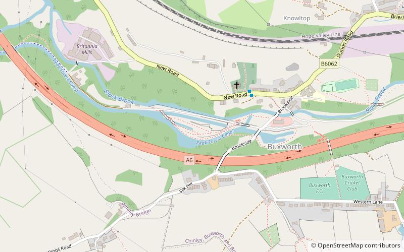
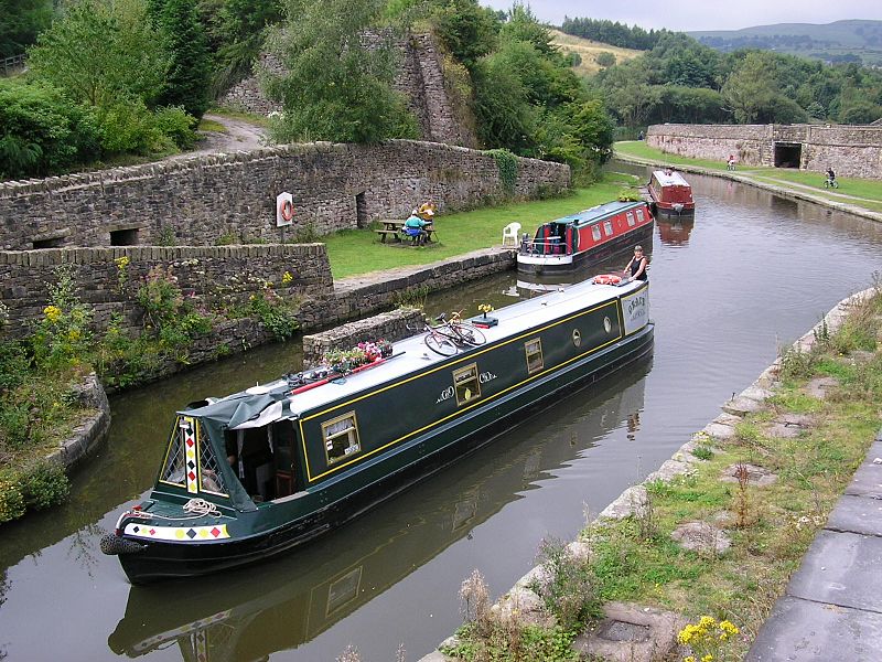
Bugsworth Basin is a canal basin at the terminus of the Peak Forest Canal. It is located at Buxworth in the valley of the Black Brook, close to Whaley Bridge. It was once a busy interchange with the Peak Forest Tramway, for the transport of limestone and burnt lime. ()
Coordinates: 53°20'7"N, 1°58'14"W
Day trips


