Upper Goyt Valley, Whaley Bridge
#3 among attractions in Whaley Bridge


Facts and practical information
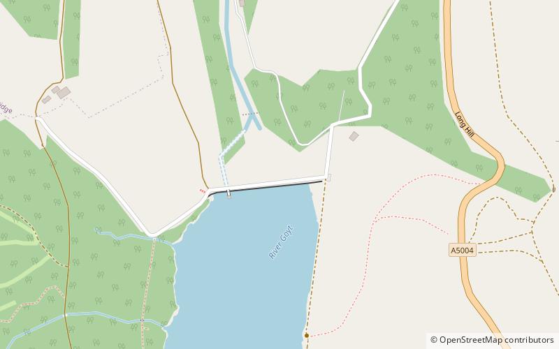
The Upper Goyt Valley is the southern section of the valley of the River Goyt in North West England. ()
Upper Goyt Valley – popular in the area (distance from the attraction)
Nearby attractions include: Bugsworth Basin, Cats Tor, Corbar Hill, Errwood Reservoir.
 Historical place, Canal
Bugsworth Basin, Whaley Bridge
70 min walk • Bugsworth Basin is a canal basin at the terminus of the Peak Forest Canal. It is located at Buxworth in the valley of the Black Brook, close to Whaley Bridge. It was once a busy interchange with the Peak Forest Tramway, for the transport of limestone and burnt lime.
 Hill
HillCats Tor, Peak District
42 min walk • Cats Tor is a Peak District hill on the border between Cheshire and Derbyshire, between the towns of Macclesfield and Buxton. The summit is 518 metres above sea level. Tor is an Old English word for a high, rocky hill. The higher peak of Shining Tor is about 2 km south along The Tors gritstone ridge.
 Mountain
Corbar Hill, Buxton
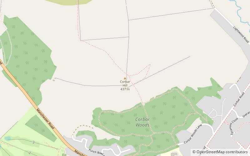
81 min walk • Corbar Hill is a sandstone hill at the south end of Combs Moss, overlooking Buxton in Derbyshire, in the Peak District. The summit is 437 metres above sea level.
 Nature, Natural attraction, Lake
Errwood Reservoir, Peak District
40 min walk • Errwood Reservoir is a drinking-water reservoir in the Peak District National Park, within the county of Derbyshire and very close to the boundary with Cheshire.
 Nature, Natural attraction, Hill
Shining Tor, Peak District
70 min walk • Shining Tor is the highest hill in the modern ceremonial county of Cheshire, England. The summit has a maximum elevation of 559 m above sea level.
 Mountain
Burbage Edge, Peak District
75 min walk • Burbage Edge is a gritstone escarpment overlooking the Burbage district of Buxton in Derbyshire, in the Peak District. The hill's summit is 500 metres above sea level. Not to be confused with the Burbage Rocks extension of Stanage Edge near Hathersage.
 Church
Jenkin Chapel, Peak District
51 min walk • Jenkin Chapel, stands in an isolated position on the western slopes of the Pennines, 4.3 miles northeast of Macclesfield, Cheshire, England. It is recorded in the National Heritage List for England as a designated Grade II* listed building.
 Canal
CanalToddbrook Reservoir, Whaley Bridge
53 min walk • Toddbrook Reservoir, a feeder for the Peak Forest Canal, opened in 1838. It is sited above the town of Whaley Bridge in the Derbyshire High Peak area of England.
 Memorial
Bowstones, Peak District
85 min walk • The Bowstones are a pair of Anglian cross shafts in Cheshire, England. Situated beside the old ridgeway between Disley and Macclesfield, overlooking Lyme Park, the Cheshire Plain, the city of Manchester and the hills of the Peak District, they are a scheduled monument.
 Nature, Natural attraction, Hill
Windgather Rocks, Peak District
33 min walk • The Windgather Rocks is a gritstone crag on the Derbyshire–Cheshire border in England. It is in the Peak District National Park and is a popular site for learning the rudiments of rock climbing.
 Bridge
Chapel Milton Viaduct, Chapel-en-le-Frith
93 min walk • Chapel Milton Viaduct is a Grade II listed bifurcated railway viaduct on the Great Rocks Line at its junction with the Hope Valley Line, straddling the Black Brook valley in Chapel Milton, Derbyshire, England.
