Strays of York, York
Map

Gallery

Facts and practical information
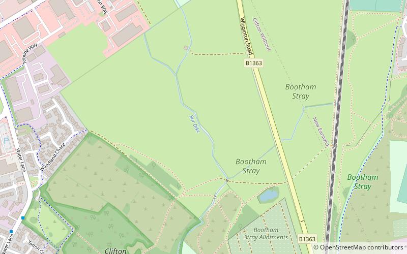
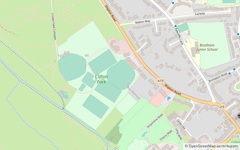
The Strays of York is a collective name for four areas of open land, comprising in all over 800 acres, within the City of York. Their individual names are Bootham Stray, Micklegate Stray, Monk Stray and Walmgate Stray. ()
Elevation: 52 ft a.s.l.Coordinates: 53°59'3"N, 1°5'12"W
Address
Clifton WithoutYork
ContactAdd
Social media
Add
Day trips
Strays of York – popular in the area (distance from the attraction)
Nearby attractions include: Bootham Crescent, The York Golf Academy at Melodie Park Golf Driving Range, St Catherine's Church, St Annes Monastic House.
Frequently Asked Questions (FAQ)
How to get to Strays of York by public transport?
The nearest stations to Strays of York:
Bus
Bus
- Huntington Road Alexander Avenue • Lines: 5 (19 min walk)
- Haxby Road Nestle Rowntree • Lines: 5 (20 min walk)


