The Groves, York
Map
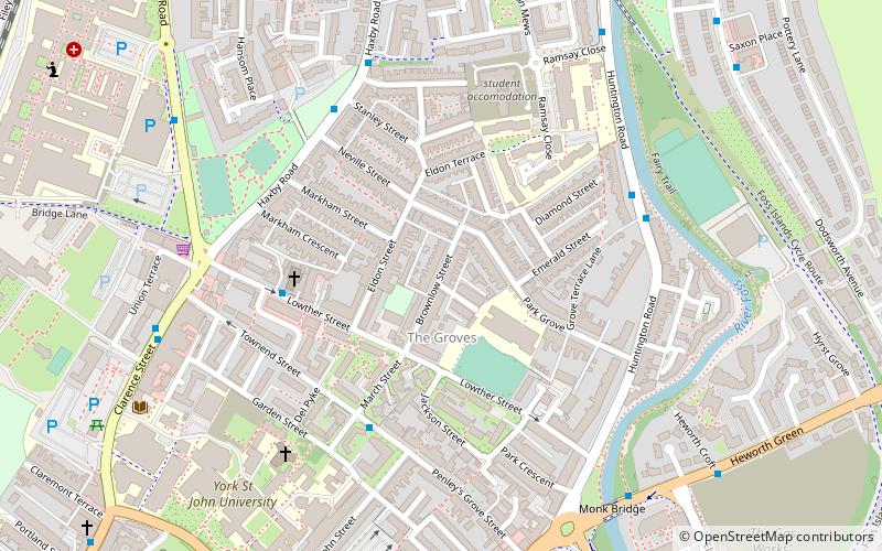
Map

Facts and practical information
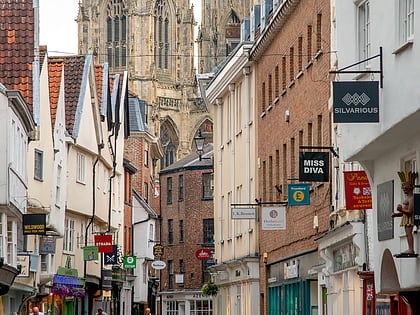
The Groves is a district of York, England, covering the area just north of the city centre between Huntington Road and Haxby Road. ()
Elevation: 49 ft a.s.l.Coordinates: 53°58'4"N, 1°4'36"W
Day trips
The Groves – popular in the area (distance from the attraction)
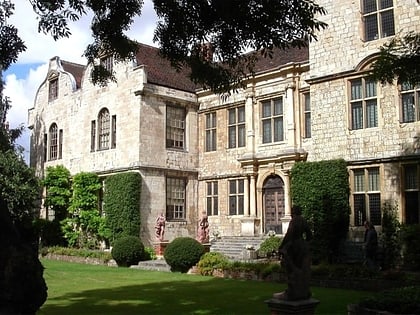
Nearby attractions include: York Minster, Bootham Crescent, St Michael le Belfrey, Treasurer's House.
Frequently Asked Questions (FAQ)
Which popular attractions are close to The Groves?
Nearby attractions include St Annes Monastic House, York (1 min walk), York St John University, York (6 min walk), Monkgate, York (8 min walk), Monk Bar, York (10 min walk).
How to get to The Groves by public transport?
The nearest stations to The Groves:
Bus
Train
Bus
- Clarence Street • Lines: 5 (6 min walk)
- Gillygate • Lines: 5 (9 min walk)
Train
- York (26 min walk)


