Everton Park, Liverpool
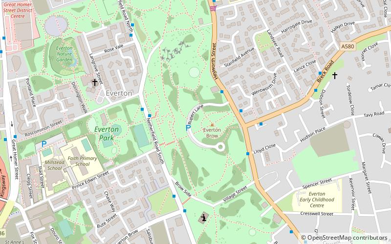
Map

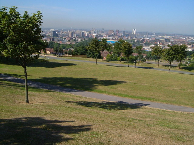
Gallery

Facts and practical information
Everton Park, located in Everton, Liverpool, England, is a modern park, covering over 40 hectares, created between 1984 and 1989, as part of a major house clearance programme, on Everton Hill between Great Homer Street and Everton Road/Heyworth Street. The park is Liverpool City Council owned. ()
Created: 1984Elevation: 213 ft a.s.l.Coordinates: 53°25'11"N, 2°58'11"W
Day trips
Everton Park – popular in the area (distance from the attraction)
Nearby attractions include: Walker Art Gallery, Anfield, Steble Fountain, Royal Court Theatre.
Frequently Asked Questions (FAQ)
Which popular attractions are close to Everton Park?
Nearby attractions include Everton, Liverpool (4 min walk), Everton Lock-Up, Liverpool (4 min walk), Everton water tower, Liverpool (7 min walk), St George's Church, Liverpool (10 min walk).
How to get to Everton Park by public transport?
The nearest stations to Everton Park:
Bus
Train
Bus
- West Derby Road/Brougham Terrace • Lines: 18 (14 min walk)
- Brunswick Road/Shaw Street B • Lines: 18 (14 min walk)
Train
- Liverpool Lime Street (23 min walk)
- Moorfields (29 min walk)


