Beacon Tower, Bristol
Map
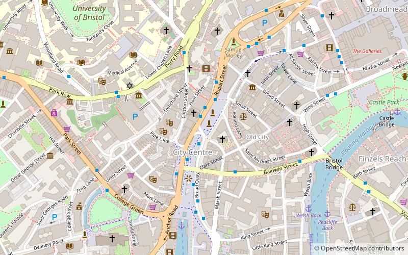
Map

Facts and practical information
Beacon Tower, formerly Colston Tower, is a high-rise building located on Colston Avenue, in the centre of Bristol, England. The building was designed in 1961, but not completed until 1973. It rises 63 metres and has 15 floors of offices. The building had been named after the Bristol-born slave trader, philanthropist and Member of Parliament Edward Colston. ()
Completed: 1973 (53 years ago)Floors: 15Coordinates: 51°27'17"N, 2°35'49"W
Address
CabotBristol
ContactAdd
Social media
Add
Day trips
Beacon Tower – popular in the area (distance from the attraction)
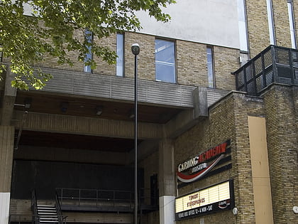
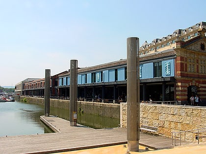
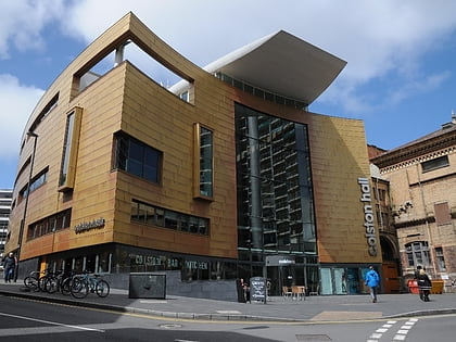
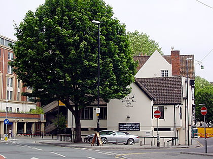
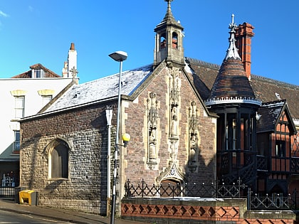
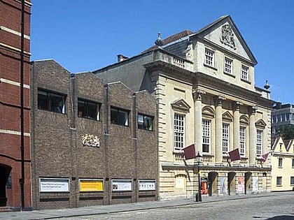
Nearby attractions include: O2 Academy Bristol, Watershed, Colston Hall, St Mary on the Quay.
Frequently Asked Questions (FAQ)
Which popular attractions are close to Beacon Tower?
Nearby attractions include St Mary on the Quay, Bristol (1 min walk), Saint Stephen's, Bristol (2 min walk), The Centre, Bristol (2 min walk), Colston Hall, Bristol (2 min walk).
How to get to Beacon Tower by public transport?
The nearest stations to Beacon Tower:
Bus
Ferry
Train
Bus
- The Centre • Lines: 43, 902, m2 (2 min walk)
- Rupert Street • Lines: m2 (6 min walk)
Ferry
- City Centre • Lines: Hotwells-Centre (5 min walk)
- Prince Street Bridge • Lines: Hotwells-Centre (11 min walk)
Train
- Princes Wharf (12 min walk)
- SS Great Britain (15 min walk)

