Wine Street, Bristol
Map

Gallery

Facts and practical information
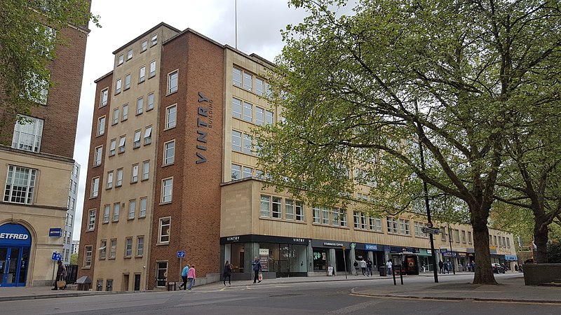
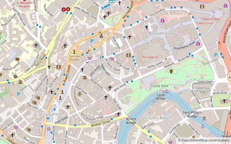
Wine Street, together with High Street, Broad Street and Corn Street, is one of the four cross streets which met at the Bristol High Cross, the heart of Bristol, England when it was a walled mediaeval town. From this crossroads Wine Street runs along a level ridge approximately 175m north-eastwards to the top of Union Street. ()
Coordinates: 51°27'18"N, 2°35'34"W
Address
CabotBristol
ContactAdd
Social media
Add
Day trips
Wine Street – popular in the area (distance from the attraction)
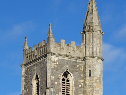
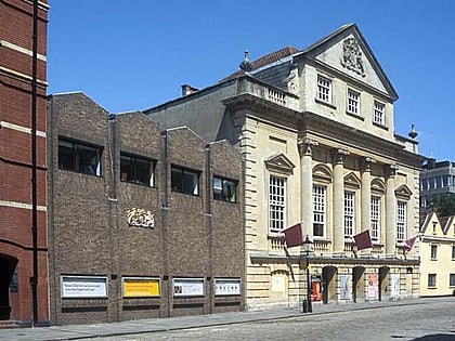
Nearby attractions include: The Galleries, The Old Duke, Castle Park, St Mary le Port Church.
Frequently Asked Questions (FAQ)
Which popular attractions are close to Wine Street?
Nearby attractions include All Saints' Church, Bristol (1 min walk), Corn Street, Bristol (1 min walk), St Nicholas Market, Bristol (2 min walk), The Exchange, Bristol (2 min walk).
How to get to Wine Street by public transport?
The nearest stations to Wine Street:
Bus
Ferry
Train
Bus
- Wine Street • Lines: 92 (2 min walk)
- Nelson Street • Lines: 43, 8, 9 (4 min walk)
Ferry
- City Centre • Lines: Hotwells-Centre (8 min walk)
- Prince Street Bridge • Lines: Hotwells-Centre (13 min walk)
Train
- Princes Wharf (13 min walk)
- Bristol Temple Meads (18 min walk)


