St Clement's Church, Manchester
Map

Gallery

Facts and practical information
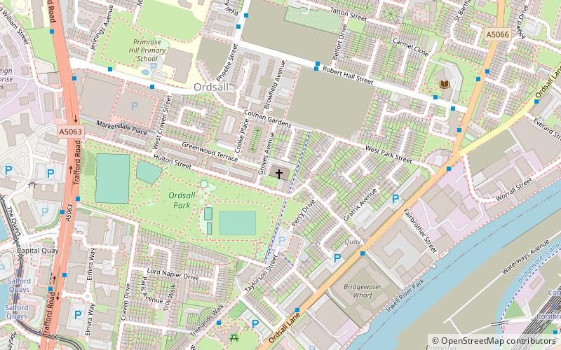
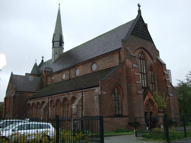
St Clement's Church is a Grade II listed building on Hulton Street, Ordsall, Salford, Greater Manchester, England. It is an active Anglican parish church in the Anglican Diocese of Manchester. ()
Completed: 1878 (148 years ago)Architectural style: Gothic revivalCoordinates: 53°28'20"N, 2°16'34"W
Day trips
St Clement's Church – popular in the area (distance from the attraction)
Nearby attractions include: Museum of Science and Industry, Imperial War Museum North, Old Trafford, The Lowry.
Frequently Asked Questions (FAQ)
Which popular attractions are close to St Clement's Church?
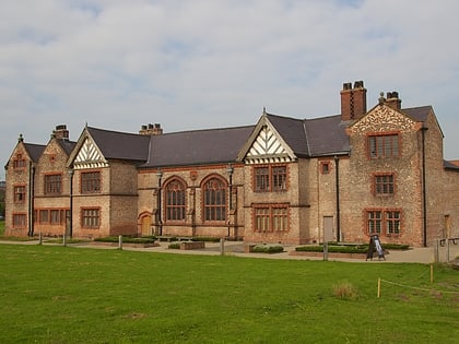
Nearby attractions include Ordsall, Manchester (4 min walk), Ordsall Hall, Manchester (6 min walk), Salford Lads Club, Manchester (9 min walk), Hulme Locks Branch Canal, Manchester (18 min walk).
How to get to St Clement's Church by public transport?
The nearest stations to St Clement's Church:
Bus
Tram
Train
Bus
- Robert Hall St/Ordsall District Centre • Lines: 79 (4 min walk)
- Phoebe Street/West Craven Street • Lines: 79 (5 min walk)
Tram
- Salford Quays • Lines: Asht, Eccl, Mcuk (10 min walk)
- Cornbrook • Lines: Airp, Altr, Asht, Bury, Corn, Dean, Eccl, EDid, Mcuk, Picc, Roch, Shaw, TrfC, Vict (10 min walk)
Train
- Salford Crescent (25 min walk)
- Deansgate (27 min walk)

 Metrolink
 Metrolink / Rail


