St Philip's Church, Manchester
Map

Map

Facts and practical information
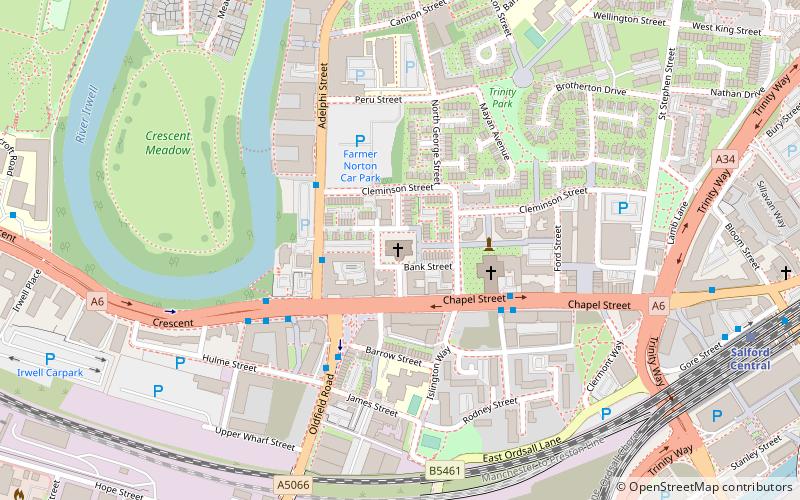
St Philip's Church is an Anglican parish church in the deanery and archdeaconry of Salford, and the diocese of Manchester. Located at Wilton Place, just off Chapel Street in Salford, Greater Manchester, England, the church was relaunched in 2016 as Saint Philip's Chapel Street, and has been described as an old church on a new journey. ()
Completed: 1824 (202 years ago)Architectural style: NeoclassicismCoordinates: 53°29'2"N, 2°15'47"W
Address
4 Wilton PlSalford (Irwell Riverside)Manchester M3 6WP
Contact
+44 161 839 9709
Social media
Add
Day trips
St Philip's Church – popular in the area (distance from the attraction)
Nearby attractions include: Museum of Science and Industry, Quay Street, People's History Museum, Salford Museum and Art Gallery.
Frequently Asked Questions (FAQ)
When is St Philip's Church open?
St Philip's Church is open:
- Monday closed
- Tuesday 7 pm - 7:30 pm
- Wednesday 10 am - 4 pm
- Thursday closed
- Friday closed
- Saturday closed
- Sunday 9:30 am - 12:30 pm
Which popular attractions are close to St Philip's Church?
Nearby attractions include Salford Cathedral, Manchester (3 min walk), Islington Mill, Manchester (5 min walk), Salford Town Hall, Manchester (5 min walk), Salford Museum and Art Gallery, Manchester (10 min walk).
How to get to St Philip's Church by public transport?
The nearest stations to St Philip's Church:
Bus
Train
Tram
Bus
- Chapel Street/Salford Cathedral • Lines: 50 (3 min walk)
- Crescent/Oldfield Road • Lines: 50 (4 min walk)
Train
- Salford Central (9 min walk)
- Salford Crescent (14 min walk)
Tram
- Deansgate-Castlefield • Lines: Airp, Altr, Asht, Bury, Dean, Eccl, EDid, Mcuk, Picc, Roch, Shaw, Vict (21 min walk)
- Exchange Square • Lines: EDid, Roch, Shaw (22 min walk)

 Metrolink
 Metrolink / Rail


