St Andrew's Church, Brighton
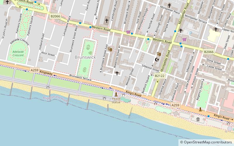
Map

Gallery

Facts and practical information
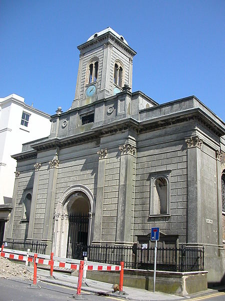
St Andrew's Church is a former Anglican church in the Brunswick Town area of Hove, part of the English city of Brighton and Hove. It is in the care of the Churches Conservation Trust, the national charity protecting historic churches at risk. ()
Coordinates: 50°49'25"N, 0°9'25"W
Day trips
St Andrew's Church – popular in the area (distance from the attraction)
Nearby attractions include: British Airways i360, Churchill Square, Adelaide Crescent, 11 Dyke Road.
Frequently Asked Questions (FAQ)
Which popular attractions are close to St Andrew's Church?
Nearby attractions include The Old Market, Brighton (3 min walk), Regency Town House, Brighton (4 min walk), Roof-top synagogue, Brighton (5 min walk), St Patrick's Church, Brighton (5 min walk).
How to get to St Andrew's Church by public transport?
The nearest stations to St Andrew's Church:
Bus
Train
Bus
- Norfolk Square • Lines: 1, 1A, 2, 21, 25, 46, 49, 5, 5A, 5B, 6, 60, 700, 71, N1, N5 (4 min walk)
- Brunswick Place • Lines: 1, 1A, 2, 21, 25, 46, 49, 5, 5A, 5B, 6, 60, 700, 71, N1, N5 (6 min walk)
Train
- Brighton (21 min walk)
- Hove (26 min walk)


