Brighton and Hove Progressive Synagogue, Brighton

Gallery (1)
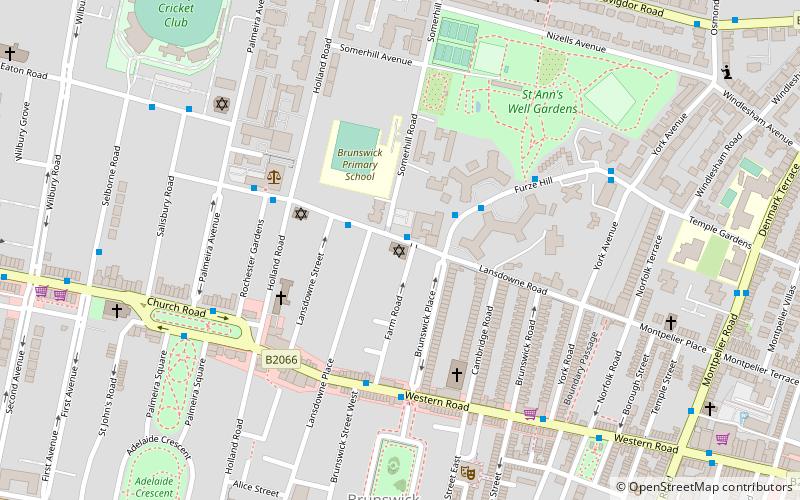
Map
Map
Facts and practical information
Brighton and Hove Progressive Synagogue, also known as Adat Shalom Verei’ut, is a Liberal synagogue in Hove, Sussex, England. It was established in 1935 and now has more than 300 members. ()
Coordinates: 50°49'39"N, 0°9'32"W
Address
Brunswick and AdelaideBrighton
ContactAdd
Social media
Add
Getting there by public transportation
Public transportation stops near this location
- Bus
- Train
 Bus
Bus
- Calculate routeLansdowne Road 2 min walk
- Calculate routeFurze Croft 2 min walk
- Calculate routeLaw Courts 4 min walk
- Calculate routeHove 19 min walk
- Calculate routeBrighton 21 min walk
- Calculate routeAldrington 30 min walk
- Calculate routeLondon Road 30 min walk
Day trips


Frequently Asked Questions (FAQ)
Which popular attractions are close to Brighton and Hove Progressive Synagogue?
Nearby attractions include Holland Road Baptist Church, Brighton (3 min walk), St Patrick's Church, Brighton (4 min walk), Regency Town House, Brighton (5 min walk), St. Ann's Well Gardens, Brighton (5 min walk).
How to get to Brighton and Hove Progressive Synagogue by public transport?
The nearest stations to Brighton and Hove Progressive Synagogue:
Bus
Train
Bus
- Lansdowne Road • Lines: 21A (2 min walk)
- Furze Croft • Lines: 21A (2 min walk)
Train
- Hove (19 min walk)
- Brighton (21 min walk)