Bede Island, Leicester
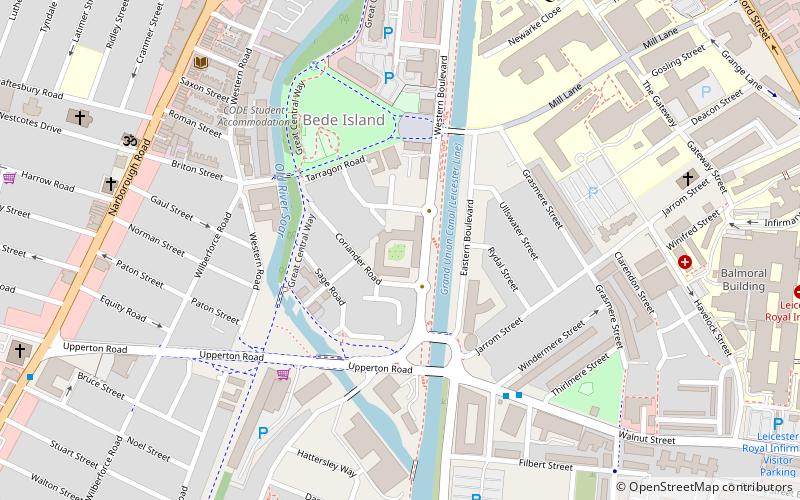
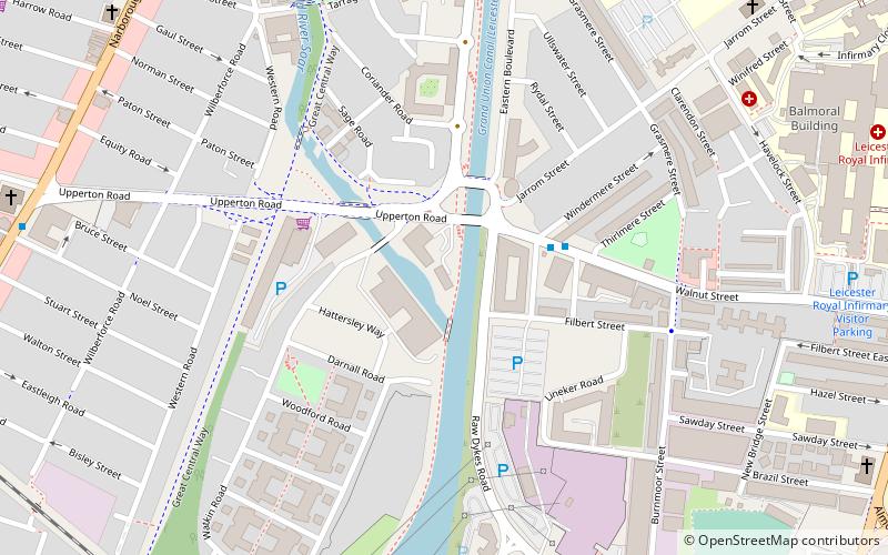
Map
Facts and practical information
Bede Island is an area of Leicester, England close to the city centre, with the River Soar to the west and Grand Union Canal to the east. ()
Coordinates: 52°37'38"N, 1°8'38"W
Address
Leicester West (Westcotes)Leicester
ContactAdd
Social media
Add
Getting there by public transportation
Public transportation stops near this location
- Bus
- Train
 Bus
Bus
- Calculate routeSt Nicholas Circle 14 min walk
- Calculate routeOutside Frampton Avenue 23 min walk
- Calculate routeLeicester 23 min walk
Day trips


Frequently Asked Questions (FAQ)
Which popular attractions are close to Bede Island?
Nearby attractions include Leicester Friars of the Sack, Leicester (7 min walk), De Montfort University, Leicester (7 min walk), Shree Jalaram Prarthana Mandal, Leicester (7 min walk), Newarke Houses Museum, Leicester (10 min walk).
How to get to Bede Island by public transport?
The nearest stations to Bede Island:
Bus
Train
Bus
- St Nicholas Circle • Lines: 103, 104 (14 min walk)
- Outside Frampton Avenue • Lines: 48 (23 min walk)
Train
- Leicester (23 min walk)