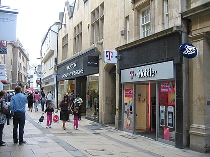
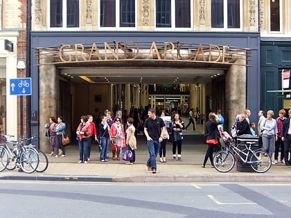
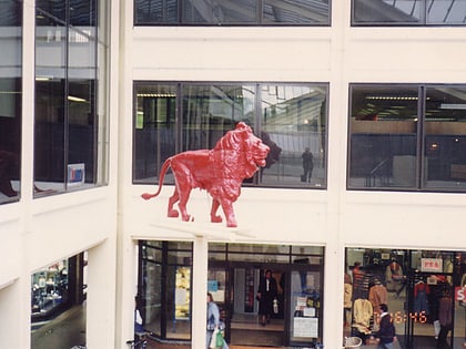
King Street, Cambridge
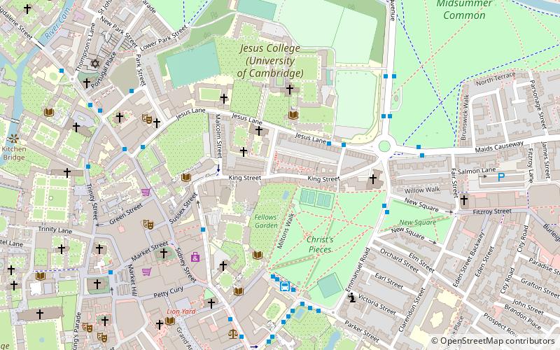
Map
Gallery
Facts and practical information
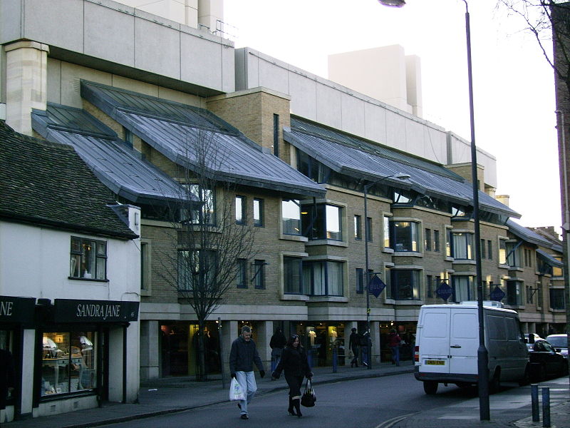
King Street is a street in central Cambridge, England. It connects between Sussex Street heading west and Hobson Street heading south at the western end and a large roundabout to the east. It runs parallel to and south of Jesus Lane. The roads link together at a roundabout at the eastern end. To the east is Maid's Causeway and then Newmarket Road leading out of Cambridge. To the north is Victoria Avenue between Jesus Green and Midsummer Common. To the south is Short Street, Cambridge, quickly leading into Emmanuel Road past Christ's Pieces. ()
Coordinates: 52°12'27"N, 0°7'26"E
Address
MarketCambridge
ContactAdd
Social media
Add
Day trips
King Street – popular in the area (distance from the attraction)
Nearby attractions include: Sidney Street, Green Street, Petty Cury, Sussex Street.
Frequently Asked Questions (FAQ)
Which popular attractions are close to King Street?
Nearby attractions include All Saints' Church, Cambridge (2 min walk), Christ's College, Cambridge (3 min walk), Christ's Pieces, Cambridge (3 min walk), St Radegund's Priory, Cambridge (4 min walk).
How to get to King Street by public transport?
The nearest stations to King Street:
Bus
Train
Bus
- Belmont Place • Lines: 14, Citi 2, Citi 5, Citi 6 (3 min walk)
- Christ's College • Lines: 14, 3, Citi 1, Citi 2, Citi 5, Citi 6, Citi 8 (4 min walk)
Train
- Cambridge (28 min walk)


