Moor Park, Blackpool
Map

Map

Facts and practical information
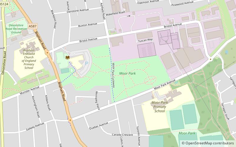
Moor Park is a municipal park located in the Moor Park area of Bispham in Blackpool on the Fylde coast in Lancashire, England. ()
Elevation: 43 ft a.s.l.Coordinates: 53°50'52"N, 3°1'59"W
Address
IngthorpeBlackpool
ContactAdd
Social media
Add
Day trips
Moor Park – popular in the area (distance from the attraction)
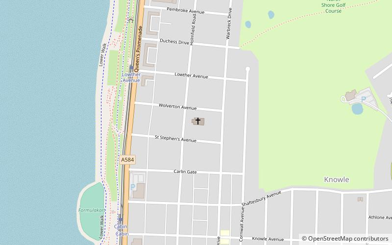
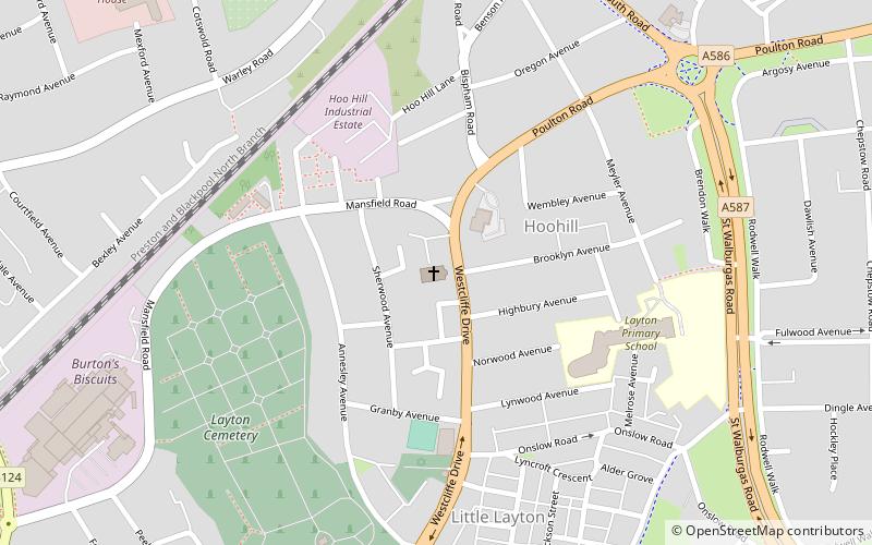
Nearby attractions include: Kincraig Lake Ecological Reserve, Carleton Crematorium, All Hallows Church, St Stephen's.
Frequently Asked Questions (FAQ)
Which popular attractions are close to Moor Park?
Nearby attractions include Fylde Memorial Arboretum and Community Woodland, Blackpool (8 min walk), Bispham Rock Gardens, Blackpool (9 min walk), Bispham, Blackpool (9 min walk), Carleton Crematorium, Blackpool (13 min walk).
How to get to Moor Park by public transport?
The nearest stations to Moor Park:
Tram
Train
Tram
- Cavendish Road (22 min walk)
- Sandhurst Avenue (22 min walk)
Train
- Layton (23 min walk)


