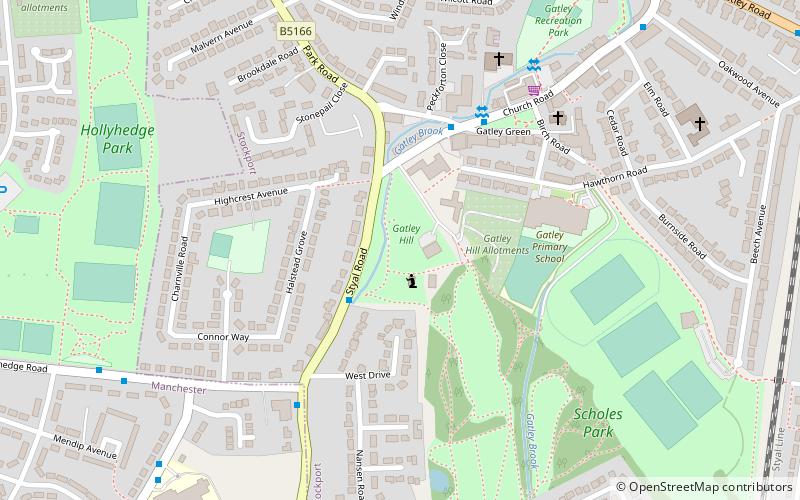
Gatley, Stockport

Gallery (3)
Map

Map
Gallery
Facts and practical information
Gatley is a village in the Metropolitan Borough of Stockport, Greater Manchester, England, 3 miles north-east of Manchester Airport. ()
Address
Stockport (Gatley)Stockport
ContactAdd
Social media
Add
Getting there by public transportation
Public transportation stops near this location
- Bus
- Tram
- Train
 Bus
Bus
- Calculate routeGatley, Styal Road / opposite Hollyhedge Road 2 min walk
- Calculate routeGatley 13 min walk
- Calculate routeBenchill 17 min walk
- Calculate routeCrossacres 20 min walk
- Calculate routeRobinswood Road 30 min walk
- Calculate routeWythenshawe Town Centre 30 min walk
Day trips


Frequently Asked Questions (FAQ)
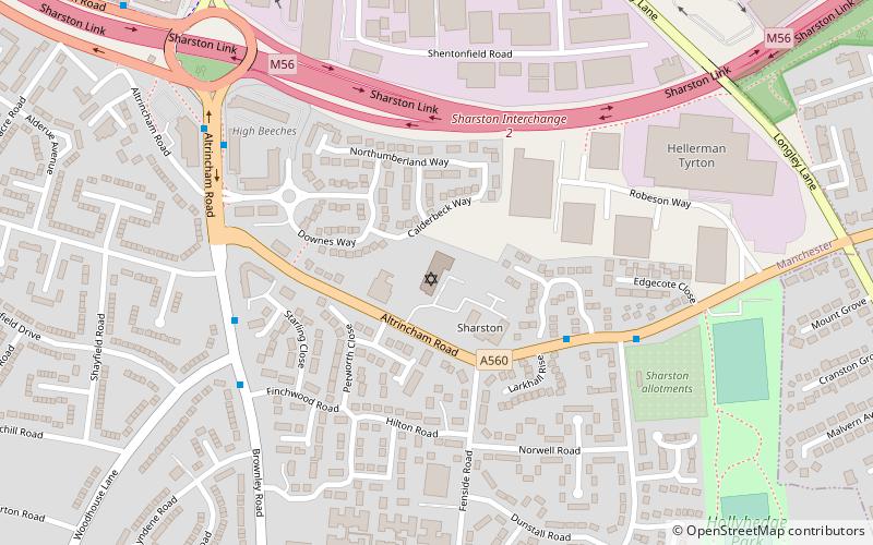
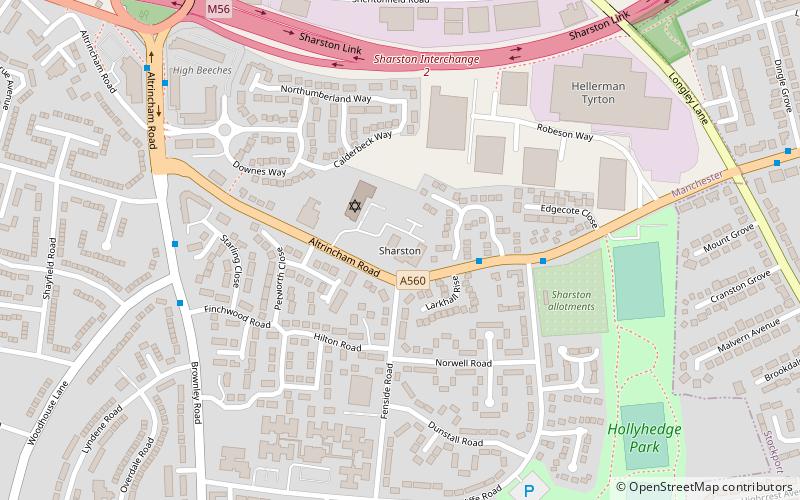
Which popular attractions are close to Gatley?
Nearby attractions include Sharston, Manchester (14 min walk), Menorah Synagogue, Manchester (16 min walk), Barnes Hospital, Stockport (23 min walk).
How to get to Gatley by public transport?
The nearest stations to Gatley:
Bus
Train
Tram
Bus
- Gatley, Styal Road / opposite Hollyhedge Road • Lines: 11 (2 min walk)
Train
- Gatley (13 min walk)
Tram
- Benchill • Lines: Airp, Dean, Vict (17 min walk)
- Crossacres • Lines: Airp, Dean, Vict (20 min walk)