Menorah Synagogue, Manchester
Map
Facts and practical information
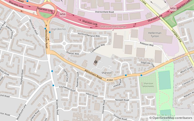
Menorah Synagogue, a member of the Movement for Reform Judaism, is a synagogue in Manchester in the United Kingdom and the place of worship for the Cheshire Reform Congregation. The synagogue is on Altrincham Road in Sharston, Wythenshawe. Its rabbi is Rabbi Fabian Sborovsky. He took up his post on 1 February 2015 in succession to Rabbi Haim Shalom. ()
Coordinates: 53°23'38"N, 2°15'10"W
Address
SharstonManchester
ContactAdd
Social media
Add
Getting there by public transportation
Public transportation stops near this location
- Bus
- Tram
- Train
 Bus
Bus
- Calculate routeGatley, Altrincham Road / opposite Stancliffe Road 4 min walk
- Calculate routeSharston, Altrincham Road / opposite Sharston Green 6 min walk
- Calculate routeBenchill 13 min walk
- Calculate routeCrossacres 19 min walk
- Calculate routeWythenshawe Town Centre 27 min walk
- Calculate routeMartinscroft 29 min walk
- Calculate routeGatley 24 min walk
Maps MetrolinkMaps
 Metrolink / Rail
MetrolinkMapsMetrolink / RailDay trips


Frequently Asked Questions (FAQ)
Which popular attractions are close to Menorah Synagogue?
Nearby attractions include Sharston, Manchester (2 min walk), Benchill Community Centre, Manchester (15 min walk), Gatley, Stockport (16 min walk), Northenden, Manchester (23 min walk).
How to get to Menorah Synagogue by public transport?
The nearest stations to Menorah Synagogue:
Bus
Tram
Train
Bus
- Gatley, Altrincham Road / opposite Stancliffe Road • Lines: 11A (4 min walk)
- Sharston, Altrincham Road / opposite Sharston Green • Lines: 11A (6 min walk)
Tram
- Benchill • Lines: Airp, Dean, Vict (13 min walk)
- Crossacres • Lines: Airp, Dean, Vict (19 min walk)
Train
- Gatley (24 min walk)