Warneford Meadow, Oxford
Map
Gallery
Facts and practical information
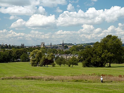
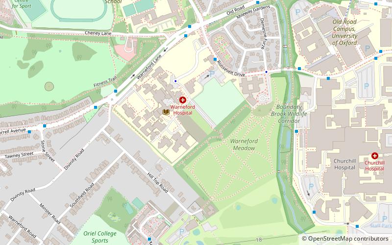
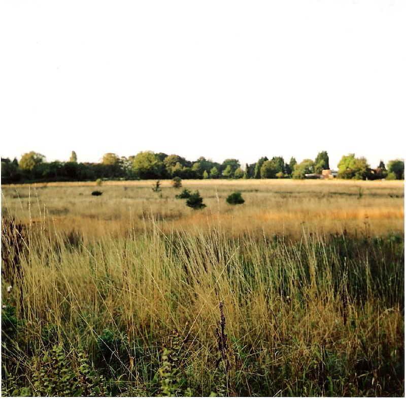
Warneford Meadow is an area of 20 acres of natural grassland immediately south-east of the Warneford Hospital, in Headington, east Oxford, England. The Warneford Meadow is a wild space within urban Oxford. The area has been used by local residents as a public space for recreation for over 50 years. ()
Elevation: 305 ft a.s.l.Coordinates: 51°45'0"N, 1°13'15"W
Address
Warneford laneChurchillOxford Ox3 7jx
ContactAdd
Social media
Add
Day trips
Warneford Meadow – popular in the area (distance from the attraction)
Nearby attractions include: O2 Academy Oxford, Roger Bannister running track, Ultimate Picture Palace, Oxford Spanish Civil War memorial.
Frequently Asked Questions (FAQ)
Which popular attractions are close to Warneford Meadow?
Nearby attractions include Divinity Road, Oxford (5 min walk), Oxford Brookes University, Oxford (8 min walk), St Bartholomew's Chapel, Oxford (11 min walk), South Park, Oxford (11 min walk).
How to get to Warneford Meadow by public transport?
The nearest stations to Warneford Meadow:
Bus
Bus
- Roosevelt Drive • Lines: 15 (10 min walk)
- Oxford Brookes University • Lines: 280, Lhr, Tube (12 min walk)


