Sandfield Road, Oxford
Map
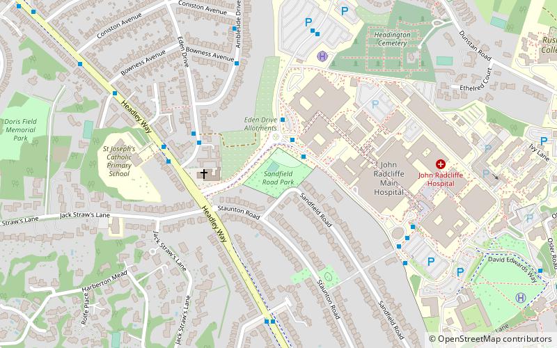
Map

Facts and practical information
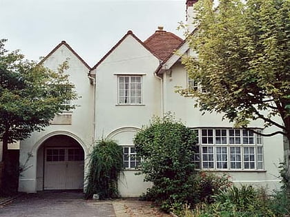
Sandfield Road is a road in the suburb of Headington, Oxford, England. It is close to the John Radcliffe Hospital. It was home to author and academic J. R. R. Tolkien in the 1950s and 1960s. ()
Elevation: 295 ft a.s.l.Coordinates: 51°45'50"N, 1°13'23"W
Address
HeadingtonOxford
ContactAdd
Social media
Add
Day trips
Sandfield Road – popular in the area (distance from the attraction)
Nearby attractions include: Ultimate Picture Palace, Oxford Spanish Civil War memorial, South Park, Headington Shark.
Frequently Asked Questions (FAQ)
Which popular attractions are close to Sandfield Road?
Nearby attractions include St Anthony of Padua, Oxford (3 min walk), Jack Straw's Lane, Oxford (9 min walk), Pullens Lane, Oxford (10 min walk), St Andrew's Church, Oxford (12 min walk).
How to get to Sandfield Road by public transport?
The nearest stations to Sandfield Road:
Bus
Bus
- Hospital Link Road • Lines: 10 (10 min walk)
- Sandfield Road • Lines: U1 (13 min walk)
