All Hallows-on-the-Wall, London
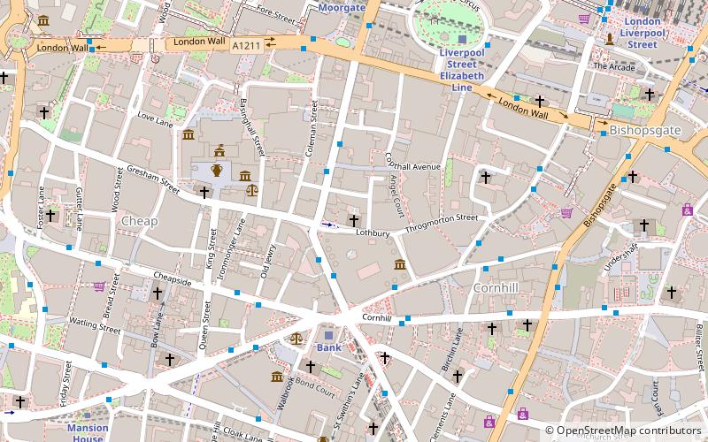
Map

Gallery

Facts and practical information
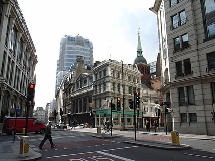
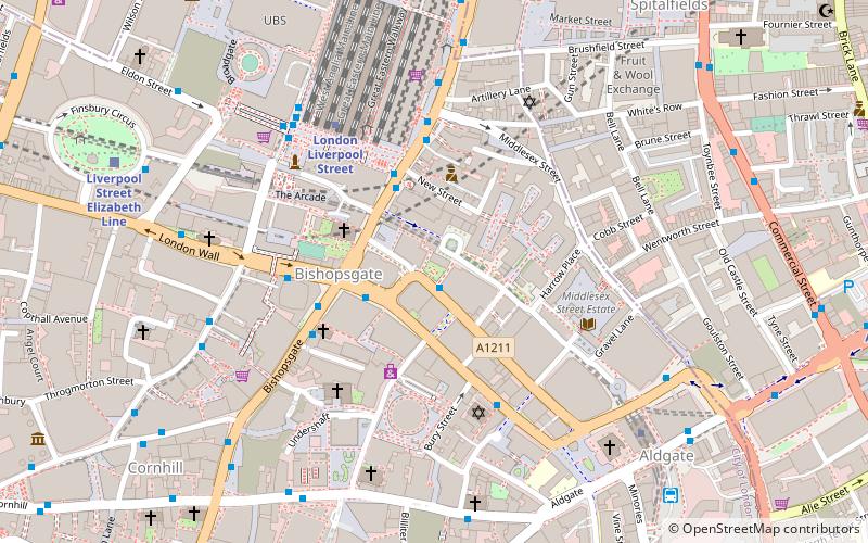
All Hallows-on-the-Wall is a Church of England church located in the City of London. Its name refers to its location, inside and adjacent to London Wall, the former city wall. ()
Coordinates: 51°30'60"N, 0°5'3"W
Address
83 London WallCity of London (Broad Street)London
ContactAdd
Social media
Add
Day trips
All Hallows-on-the-Wall – popular in the area (distance from the attraction)
Nearby attractions include: 30 St Mary Axe, Baltic Exchange, St Peter upon Cornhill, London Troops War Memorial.
Frequently Asked Questions (FAQ)
Which popular attractions are close to All Hallows-on-the-Wall?
Nearby attractions include Dutch Church, London (3 min walk), Tower 42, London (3 min walk), Kindertransport – The Arrival, London (3 min walk), Finsbury Circus, London (3 min walk).
How to get to All Hallows-on-the-Wall by public transport?
The nearest stations to All Hallows-on-the-Wall:
Bus
Metro
Train
Light rail
Ferry
Bus
- Wormwood Street • Lines: 133, 26, 388, 8, N133, N242, N26, N551, N8 (3 min walk)
- Eldon Street • Lines: 153, N551 (4 min walk)
Metro
- Liverpool Street • Lines: Central, Circle, Hammersmith & City, Metropolitan (3 min walk)
- Moorgate • Lines: Circle, Hammersmith & City, Metropolitan, Northern (6 min walk)
Train
- Bank (9 min walk)
- London Fenchurch Street (12 min walk)
Light rail
- Bank Platform 10 • Lines: B-L, B-Wa (10 min walk)
- Tower Gateway Platform 1 • Lines: Tg-B (16 min walk)
Ferry
- London Bridge City Pier • Lines: Rb1, Rb1X, Rb2, Rb6 (18 min walk)
- Tower Millennium Pier • Lines: Rb1, Rb1X, Rb2, Red Tour (18 min walk)

 Tube
Tube

