Baffins, Portsmouth
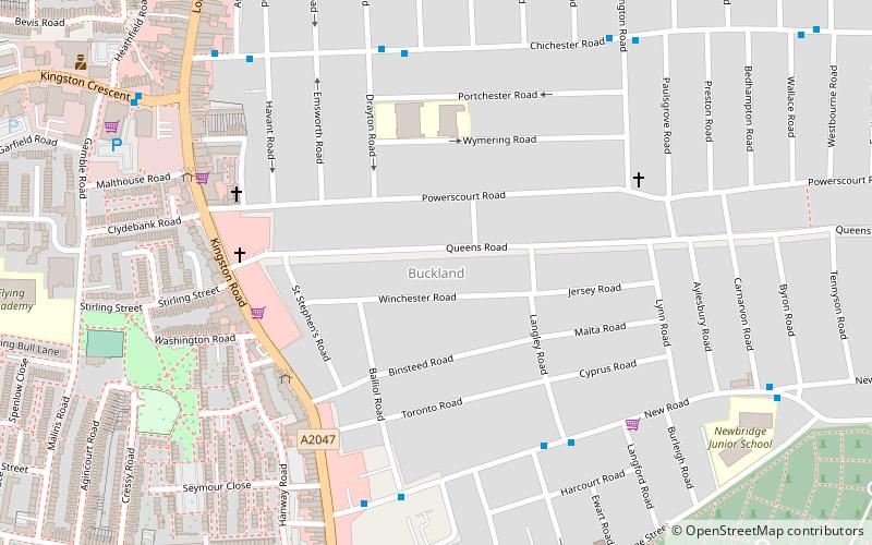
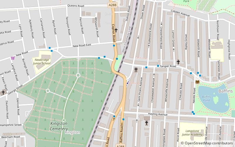
Map

Map

Facts and practical information
Baffins is an administrative district of Portsmouth, England, located on the eastern side of Portsea Island. The district is mainly composed of 1930s housing. The population of the Baffins ward at the 2011 Census was 15,121. ()
Elevation: 7 ft a.s.l.Coordinates: 50°48'27"N, 1°3'21"W
Day trips
Baffins – popular in the area (distance from the attraction)
Nearby attractions include: Fratton Park, The Bridge Shopping Centre, Portsmouth Golf Centre, St Mary's Church.
Frequently Asked Questions (FAQ)
Which popular attractions are close to Baffins?
Nearby attractions include HM Prison Kingston, Portsmouth (18 min walk), Fratton Park, Portsmouth (22 min walk), Buckland, Portsmouth (23 min walk), Fratton, Portsmouth (24 min walk).
How to get to Baffins by public transport?
The nearest stations to Baffins:
Train
Train
- Fratton (28 min walk)


