Longovicium, Lanchester
Map

Map

Facts and practical information
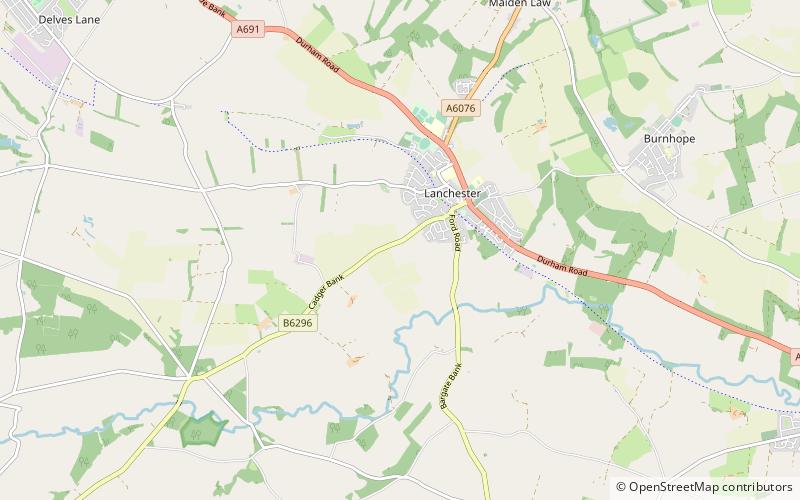
Longovicium was an auxiliary fort located on Roman Dere Street, in the Roman province of Britannia Inferior. It is located just southwest of Lanchester in the English county of Durham, roughly 8 miles to the west of the city of Durham and 5 miles from Consett. ()
Abandoned: V centuryCoordinates: 54°48'60"N, 1°45'12"W
Address
Lanchester
ContactAdd
Social media
Add
Day trips
Longovicium – popular in the area (distance from the attraction)
Nearby attractions include: Beamish Hall, Beamish Museum, Causey Arch, Hownsgill Viaduct.


