Hedleyhope Fell

Gallery (1)
Map
Map
Facts and practical information
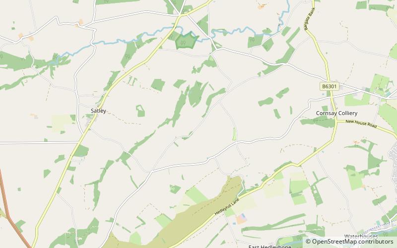
Hedleyhope Fell is a nature reserve to the north-east of Tow Law, County Durham, England. The reserve is managed by Durham Wildlife Trust and consists of some 202 hectares of mainly mid-altitude heathland. It occupies the steep slope on the right bank of Hedleyhope Burn, between the stream and the B6301 Tow Law–Cornsay Colliery road. ()
Established: 2006 (20 years ago)Coordinates: 54°46'56"N, 1°46'59"W
Day trips