Carrow Abbey, Norwich
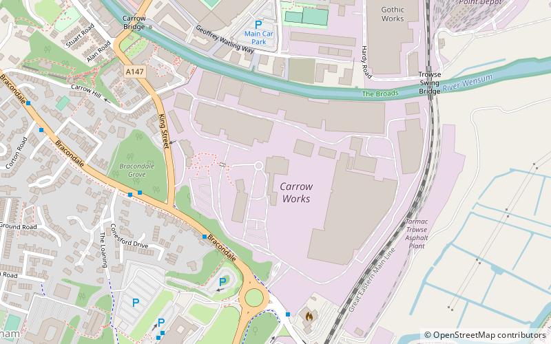
Map

Map

Facts and practical information
Carrow Abbey is a former Benedictine priory in Bracondale, southeast Norwich, England. The village on the site used to be called Carrow and gives its name to Carrow Road, the football ground of Norwich F.C. located just metres to the north. Granted by charter of King Stephen, the abbey was founded ca. 1146, and became a Grade I listed building in 1954. ()
Completed: 1146 (880 years ago)Coordinates: 52°37'6"N, 1°18'39"E
Address
Thorpe (Thorpe Hamlet)Norwich
ContactAdd
Social media
Add
Day trips
Carrow Abbey – popular in the area (distance from the attraction)
Nearby attractions include: Norwich Cathedral, Norwich Castle, Chantry Place, Carrow Road.
Frequently Asked Questions (FAQ)
Which popular attractions are close to Carrow Abbey?
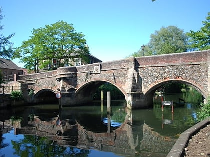
Nearby attractions include Trowse Bridge, Norwich (6 min walk), St Etheldreda's Church, Norwich (13 min walk), St Julian's Church, Norwich (16 min walk), Dragon Hall, Norwich (16 min walk).
How to get to Carrow Abbey by public transport?
The nearest stations to Carrow Abbey:
Bus
Train
Bus
- Bracondale • Lines: 100, 85, X2 (4 min walk)
- Norwich / King Street • Lines: 100, 85, X2 (5 min walk)
Train
- Norwich (15 min walk)


