Cathays Cemetery, Cardiff
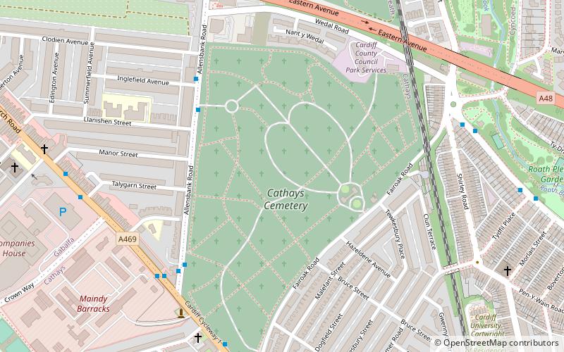
Map

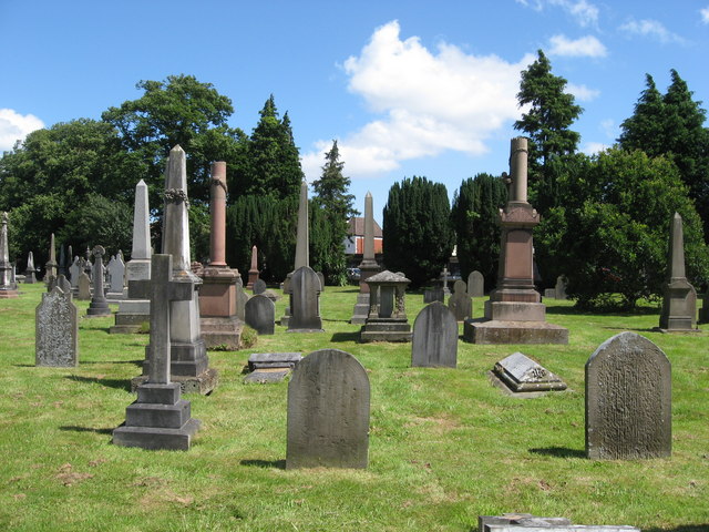
Gallery

Facts and practical information
The Cathays Cemetery is one of the main cemeteries of Cardiff, Wales. It is in the Cathays district of the city, about 1.5 miles north of Cardiff city centre. At 110 acres it is the third largest cemetery in the United Kingdom. ()
Established: 1859 (167 years ago)Coordinates: 51°30'3"N, 3°10'52"W
Day trips
Cathays Cemetery – popular in the area (distance from the attraction)
Nearby attractions include: National Museum Cardiff, Cathays Park, Roath Park, Sophia Gardens.
Frequently Asked Questions (FAQ)
Which popular attractions are close to Cathays Cemetery?
Nearby attractions include Cathays Library, Cardiff (7 min walk), Welch Regiment War Memorial, Cardiff (8 min walk), Cathays Methodist Church, Cardiff (12 min walk), Roath Park, Cardiff (13 min walk).
How to get to Cathays Cemetery by public transport?
The nearest stations to Cathays Cemetery:
Bus
Train
Bus
- Llanishen Street • Lines: 1, 51, 95 (4 min walk)
- Inglefield Ave • Lines: 2, 53, 95 (5 min walk)
Train
- Cathays (22 min walk)
- Heath Low Level (27 min walk)


