Allestree Hall, Derby
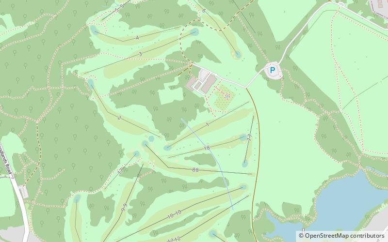
Map

Map

Facts and practical information
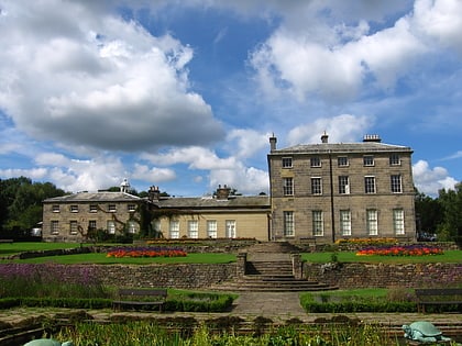
Allestree Hall is a 19th-century former country house situated in Allestree Park, Allestree, Derby. It is a Grade II* listed building but has been unoccupied for many years, and has been placed on the Heritage at Risk Register. ()
Elevation: 318 ft a.s.l.Coordinates: 52°57'42"N, 1°29'11"W
Day trips
Allestree Hall – popular in the area (distance from the attraction)
Nearby attractions include: St Paul's Church, St Paul's Church, Little Eaton, Quarndon.
Frequently Asked Questions (FAQ)
Which popular attractions are close to Allestree Hall?
Nearby attractions include Quarndon, Derby (16 min walk), St Paul's Church, Derby (19 min walk).
How to get to Allestree Hall by public transport?
The nearest stations to Allestree Hall:
Bus
Bus
- Park Gates • Lines: 6.0, 6.1, 6.2, 6.3, 6.4, 6E (11 min walk)
- Ford Lane • Lines: 6.0, 6.1, 6.2, 6.3, 6.4, 6E (13 min walk)


