Rushmere Common, Ipswich
Map

Gallery

Facts and practical information
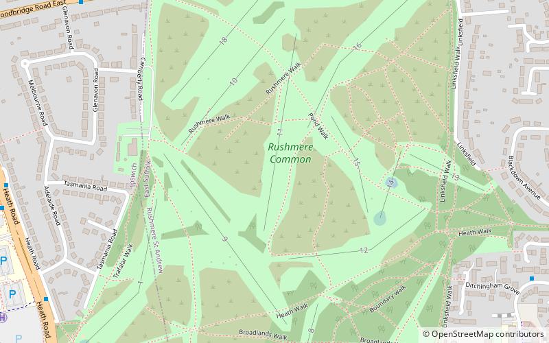
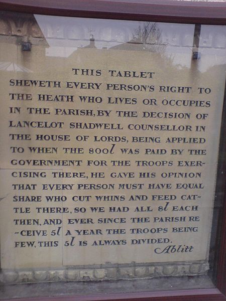
Rushmere Common is common land situated on the eastern outskirts of Ipswich mainly within the parish of Rushmere St. Andrew, Suffolk, England. It is predominately heathland, gorse and woodland, and hosts a golf course. It adjoins the Sandlings Open Space to the east and is crossed by a number of footpaths, including the Sandlings Walk – a long-distance footpath which starts on the common and ends 50 miles away in Southwold. ()
Elevation: 121 ft a.s.l.Coordinates: 52°3'31"N, 1°12'33"E
Day trips
Rushmere Common – popular in the area (distance from the attraction)
Nearby attractions include: Foxhall Stadium, Sandlings, Mill Stream Nature Reserve, Bixley Heath.
Frequently Asked Questions (FAQ)
Which popular attractions are close to Rushmere Common?
Nearby attractions include Sandlings, Ipswich (7 min walk), Mill Stream Nature Reserve, Ipswich (18 min walk), Foxhall Stadium, Ipswich (19 min walk).
How to get to Rushmere Common by public transport?
The nearest stations to Rushmere Common:
Bus
Train
Bus
- Playford Road • Lines: 64, 66, 66A (9 min walk)
- BT Pole 2 • Lines: 59 (9 min walk)
Train
- Derby Road (32 min walk)


