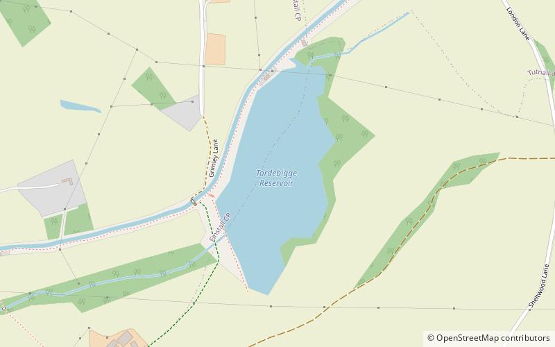
Tardebigge Lake
Map

Map

Facts and practical information
Tardebigge Lake is a large feeder reservoir, about 25 acres in size, built to supply water for the famous flight of locks running from Tardebigge towards Worcester, on the Worcester and Birmingham Canal. It is maintained by the Canal and River Trust and still supplies water to the canal system. The lake is up to 40-foot deep at the dam end, shelving off to around 15 feet at the inlet end. ()
Elevation: 407 ft a.s.l.Coordinates: 52°18'51"N, 2°1'23"W
Location
England
ContactAdd
Social media
Add
Day trips
Tardebigge Lake – popular in the area (distance from the attraction)
Nearby attractions include: Hanbury Hall, Kingfisher Shopping Centre, Avoncroft Museum of Historic Buildings, Tardebigge Locks.


