Camp Down, Waterlooville

Map
Facts and practical information
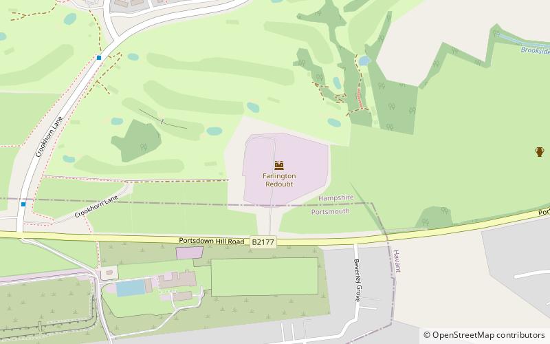
Camp Down is a location at Portsdown Hill, Hampshire, near Farlington, which was used as an Admiralty semaphore station and later as a redoubt on the line of Palmerston Forts, Portsmouth. ()
Coordinates: 50°51'12"N, 1°1'34"W
Address
Waterlooville
ContactAdd
Social media
Add
Day trips
Camp Down – popular in the area (distance from the attraction)
Nearby attractions include: North Binness Island, Farlington, Keydell House, Havant and South Downs College.
Frequently Asked Questions (FAQ)
Which popular attractions are close to Camp Down?
Nearby attractions include Farlington, Portsmouth (12 min walk), Havant and South Downs College, Waterlooville (15 min walk), Keydell House, Havant (15 min walk).


