Keydell House, Havant

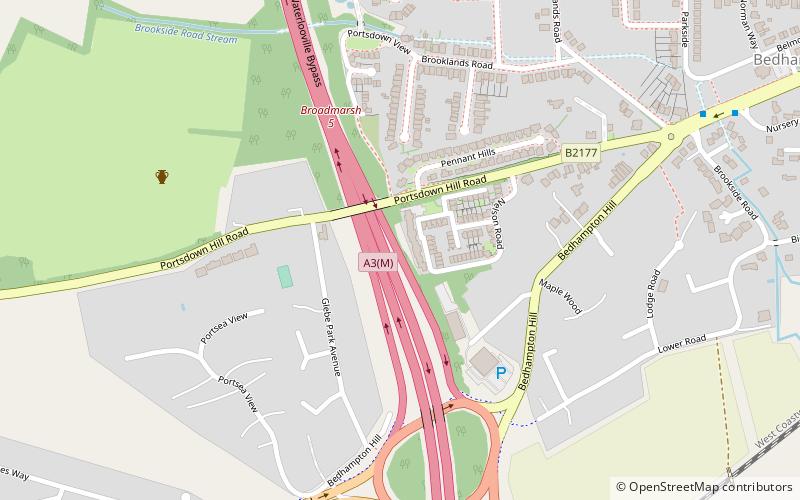
Map
Facts and practical information
Keydell House was situated in 45 acres of land near Lovedean Corner, in the village of Horndean, part of the ecclesiastical parish of Catherington Hampshire from Georgian times until its demolition to make way for houses in 1968. ()
Coordinates: 50°51'10"N, 1°0'46"W
Address
Havant
ContactAdd
Social media
Add
Day trips
Keydell House – popular in the area (distance from the attraction)
Nearby attractions include: Southmoor Nature Reserve, Camp Down, Park Parade, North Binness Island.
Frequently Asked Questions (FAQ)
Which popular attractions are close to Keydell House?
Nearby attractions include Camp Down, Waterlooville (15 min walk), Havant and South Downs College, Waterlooville (18 min walk), Farlington, Portsmouth (21 min walk).
How to get to Keydell House by public transport?
The nearest stations to Keydell House:
Train
Train
- Bedhampton (19 min walk)


